
earthian- The Sustainability Program for Schools & Colleges Descriptionपुरस्कार का विवरण 10 awards of RS. 100000 ($2000) each, trophy for the institution and certificate for the team.विद्यालय एवं कॉलेज - दोनों श्रेणियों में - दस-दस पुरस्कार दिये जाएंगे। प्रत्येक विजयी टीम की संस्था को 1,00,000 रु और सर्टिफिकेट, और हर विजयी टीम को सर्टिफिकेट दिये जाएंगे। इन सब के अलावा विजयी संस्थान तीन वर्षों के लिये हमारे 'कंटीन्यूइंग एजुकेशन प्रोग्राम (CEP)' मे भी हिस्सा ले पायेंगे।
Moving slabs [This Dynamic Earth, USGS] The layer of the Earth we live on is broken into a dozen or so rigid slabs (called tectonic plates by geologists) that are moving relative to one another. "Historical perspective" Map Puzzles - Learn U.S. and World Geography Online Map Puzzles for all computers and devices including iPad, Android, PC and Mac: We will be updating the rest of our Map Puzzles for devices soon; these still require Adobe Flash: World Continents Map Puzzle World Features Map Puzzle World Monuments Map Puzzle
Monday Freebies #39: Google Earth Board This year more than any before, classroom budgets have been cut making it more difficult than ever to equip the education of our children with quality teaching materials. I understand that. I teach K-8. What you need to know about tornadoes (CNN) -- A tornado is a funnel-shaped cloud that forms under thunderclouds and contains rapidly rotating air. Most tornadoes form from severe thunderstorms. Hurricanes can also produce tornadoes. Other Facts: Tornado winds may exceed 300 miles (480 kilometers) per hour. Tornadoes can lift cars, mobile homes, and animals into the air.
U.S. and World Maps and Puzzles - Free Maps That Teach US Geography Mega Quiz 1100 varied and interesting questions about the United States. The questions encourage the player to think and make connections using a map. Printable U.S. State Maps The Collection Water phase diagram Phase diagrams The phase diagram of water Density change Triple points The ice phases World Regional Printable, Blank Maps USA Printable Maps | Canada Printable Maps | World Projections Printable Maps | World Globes Print Free World Regions printable, blank maps that you can download that are perfect for reports, school classroom masters, or for sketching out sales territories or when ever you need a blank map. Just download and duplicate as needed. These are great for making 8.5 x 11 blank printable world maps. Royalty Free, Printable, Blank Map of Europe with Country Borders and Names Europe World Regions Printable Blank Map with text names for countries, capitasl, and major cities, jpg format, This map can be downloaded and printed out to make an 8.5 x 11 blank Europe map.
Trip Planner World History and Geography to 1500 A.D. (C.E.) The Virginia Geographic Alliance has developed twenty-four lessons and accompanying materials to foster the development of geographic understandings, knowledge, and skills based on the Virginia Standards of Learning for World History and Geography to 1500 A.D. (C.E.). The format of the lessons mirrors Commonwealth of Virginia Department of Education, History and Social Science Enhanced Scope and Sequence, World History and Geography to 1500 A.D.
Historypin Global I Unit 1 Geography, Methods, & Early Humans Home Page » Global I Unit 1 Geography, Methods, & Early Humans Global I Unit 1 Geography, Methods, & Early Humans Geography, Methods, & Early Humans Methods & Early Humans Intro (doc file - 231 KB)Methods & Early Humans Intro Intro to World History (doc file - 134 KB)Intro to World History
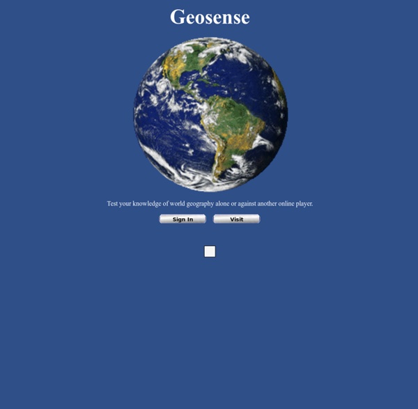
what happened to the geosense game? by burundi11 Jan 11