
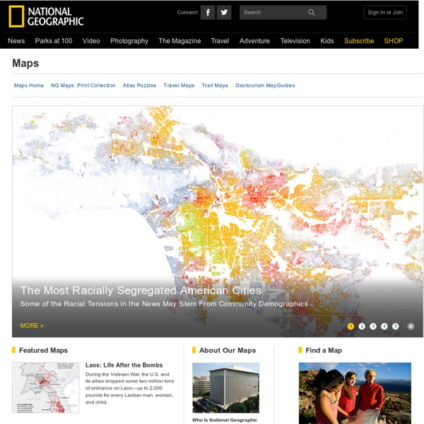
http://maps.nationalgeographic.com/maps/
Early world maps Antiquity Babylonian Imago Mundi (c. 600 BCE) A Babylonian world map, known as the Imago Mundi, is commonly dated to the 6th century BCE.[1][2] The map as reconstructed by Eckhard Unger shows Babylon on the Euphrates, surrounded by a circular landmass showing Assyria, Urartu (Armenia)[3] and several cities, in turn surrounded by a "bitter river" (Oceanus), with seven islands arranged around it so as to form a seven-pointed star. The accompanying text mentions seven outer regions beyond the encircling ocean.
Map Collection - World Sites Atlas World Atlas A physical and a political map of the world, divided into tiles for easy navigation. Maps of Continents and Regions Select a continent or region below to jump to its map. 20 Examples Of Infographs That You Don’t See Every Day I think we all know what an infograph is, and nowadays they are increasingly popular. The bad thing is that almost all of them are becoming boring and very similar. In this article I have collected 20 infographs that are very unique design and also interesting subjects. Twitter Dots: Mapping all Tweets for a specific Keyword It’s a Google Streetmap of history: How our famous landmarks looked up to 170 years ago By Daily Mail Reporter Updated: 07:19 GMT, 7 November 2011 A website has taken the notion of the 'Now and Then' photo to another level with their 'Google Streetmap of history' which allows people to see what a British street looked like 10, 20 or even 100 years ago. Like a photographic trip down memory lane, the phone app allows users to 'pin' photos to places on the map meaning you can see how the world has changed since the photo was taken, and read the stories behind the area. A vibrant Cambridge Market in the 1900's and today with several marquees in place
The National Map: Small Scale The National Map is now offering a collection of small-scale datasets that can be downloaded for free. Although the 1997-2014 Edition of the National Atlas of the United States was retired in September 2014, The National Map recognizes the importance of continuing to make a collection of the small-scale datasets, originally developed for the National Atlas, available to users. Small-scale maps have an advantage over large-scale maps when there is a need to show a large area in a single view. This makes small-scale maps an ideal solution for scientists, decision-makers, and planners needing to provide a geographical context for the research projects.
Category:Atlas by country Cancel Edit Delete Preview revert Text of the note (may include Wiki markup) Could not save your note (edit conflict or other problem). Please copy the text in the edit box below and insert it manually by editing this page. Upon submitting the note will be published multi-licensed under the terms of the CC-BY-SA-3.0 license and of the GFDL, versions 1.2, 1.3, or any later version. See our terms of use for more details. TIGER Map Service Removal The 1990 TIGER Map Service was retired in May 2010. In 2012 the Census Bureau released TIGERweb, a web mapping and streaming services application. Please update your bookmarks to Please see the following websites for more current information:
Mapping applications, frameworks and libraries This is part of a series of posts to share with readers a useful collection of some of the most important, effective and practical data visualisation resources. This post presents the many different options for visualisation spacial data. Please note, I may not have personally used all the packages or tools presented but have seen sufficient evidence of their value from other sources. Whilst some inclusions may be contentious from a quality/best-practice perspective, they may still provide some good features and provide value to a certain audience out there.
United States Maps United States Maps The PCL Map Collection includes more than 250,000 maps, yet less than 30% of the collection is currently online. A $5, $15, or $25 contribution will help us fund the cost of acquiring and digitizing more maps for free online access. Catalog of Aerial Photography-Earth Sciences & Map Library-University of California, Berkeley California Air Photo CatalogAir photo coverage at UCB Non-California Air Photos Collections at Other California Locations California Air Photo Catalog Aerial flights are indexed to the county level, not city level. If you don't know the county for your area of interest, search the USGS Geographic Names Information System, then return to this form and submit your search.
U.S. Standardized Precipitation Index Guttman, N.B., 1991: A sensitivity analysis of the Palmer Hydrologic Drought Index. Water Resour. Bull., 27, 797-807.