
World Regional Printable, Blank Maps • Royalty Free, jpg • FreeUSandWorldMaps.com USA Printable Maps | Canada Printable Maps | World Projections Printable Maps | World Globes Print Free World Regions printable, blank maps that you can download that are perfect for reports, school classroom masters, or for sketching out sales territories or when ever you need a blank map. Just download and duplicate as needed. These are great for making 8.5 x 11 blank printable world maps. Royalty Free, Printable, Blank Map of Europe with Country Borders and Names Europe World Regions Printable Blank Map with text names for countries, capitasl, and major cities, jpg format, This map can be downloaded and printed out to make an 8.5 x 11 blank Europe map. Do You Need an Editable World Regional Map, with Countries? Royalty Free Europe Outline Map with Country Borders, no Names, Printable, Blank Map Europe World Regions Printable Blank Map, no text names, jpg format, This map can be downloaded and printed out to make an 8.5 x 11 blank Europe map. www.mapsfordesign.com and www.bjdesign.com
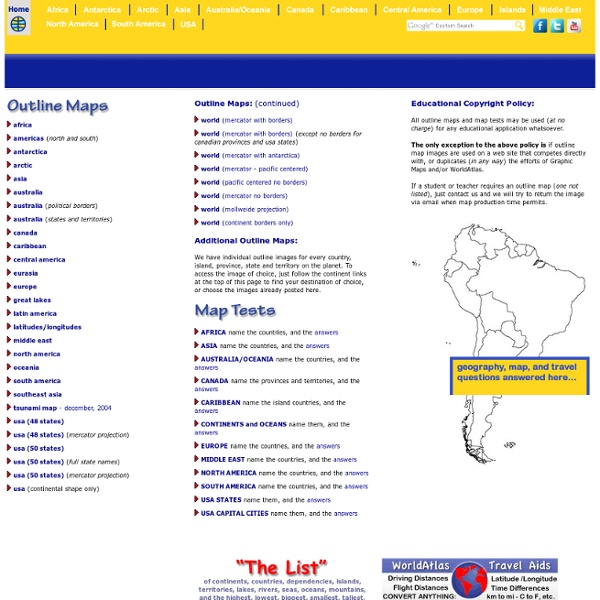
U.S. and World Maps and Puzzles - Free Maps That Teach US Geography Mega Quiz 1100 varied and interesting questions about the United States. The questions encourage the player to think and make connections using a map. Printable U.S. State Maps Maps of all of the 50 U.S. states, labeled and unlabeled, for classroom and student use. Online Atlas Maps of the countries of every continent and of every continent. Print Free Maps Large or Small Free online software to print outline maps - one page to 7 feet wide. Megamaps - free maps large and small Great for classroom maps. Maps by Place: World: Print World Maps Online Atlas Continents and Regions Maps Continents Map Puzzle World Features Map Puzzle World Monuments Map Puzzle Europe: Online Map of Europe Online Atlas Maps of the Countries of Europe Europe Map Puzzle Print Maps of Europe and European Countries United States: Online Atlas maps of the United States Make Your Own USA Online Map of the United States Printable U.S. Asia: Africa: North America: Central America and the Caribbean: Mexico:
Walk through the Continents - Print Maps Large and Small - Free Print free maps large or small; from 1 page to almost 7 feet across; PC or Mac. For classroom and student use. MegaMaps requires Adobe Flash. Free online software—no downloading or installation. Print out maps in a variety of sizes, from a single sheet of paper to a map almost 7 feet across, using an ordinary printer. You can print single page maps, or maps 2 pages by 2 pages, 3 pages by 3 pages, etc. up to 8 pages by 8 pages (64 sheets of paper; over six feet across!). Walk Through The Continents Trace car trips; where grandparents and aunts and uncles and cousins live; the Oregon Trail and the Cumberland Gap; Huck Finn's journey; the Rocky Mountains, the Appalachians, the Mississippi River, the Columbia River and the Colorado, label states… There are any number of ways to use these maps. • Print out a multi-page map of the US or the world, and have groups of students assemble it together, like a puzzle. By coloring and writing on the map, students make it “their own”.
K-5 GeoSource Map Puzzles - Learn U.S. and World Geography Online Map Puzzles for all computers and devices including iPad, Android, PC and Mac: We will be updating the rest of our Map Puzzles for devices soon; these still require Adobe Flash: World Continents Map Puzzle World Features Map Puzzle World Monuments Map Puzzle Quill's Quiz - 1100 QuestionUS Mega Geography Quiz U.S. World History and Geography to 1500 A.D. (C.E.) The Virginia Geographic Alliance has developed twenty-four lessons and accompanying materials to foster the development of geographic understandings, knowledge, and skills based on the Virginia Standards of Learning for World History and Geography to 1500 A.D. (C.E.). The format of the lessons mirrors Commonwealth of Virginia Department of Education, History and Social Science Enhanced Scope and Sequence, World History and Geography to 1500 A.D. [A presentation made for the World History/World Geography: Train the Trainers on June 21, 2016, may be viewed at NOTE: The 2008 SOLS referenced here. Summary of Lessons 1. Session 1: Explaining How Physical Geography Influenced the Lives of Early Humans 2. Session 1: Evaluating the Location of Ancient River Valley Civilizations Session 2: Why Does Sedimentation Matter? 3. Session 1. Session 2. Session 3. Session 4. 4. Session 1. Session 2. 5. Session 1. Session 2. 6. Session 1. Session 2. 7. Session 1. Session 2. 8. 9. 10.
Kids.gov: The U.S. Government's Official Web Portal for Kids learning games: Geography of Europe Global I Unit 1 Geography, Methods, & Early Humans Home Page » Global I Unit 1 Geography, Methods, & Early Humans Global I Unit 1 Geography, Methods, & Early Humans Geography, Methods, & Early Humans Methods & Early Humans Intro (doc file - 231 KB)Methods & Early Humans Intro Intro to World History (doc file - 134 KB)Intro to World History Intro to World History Slideshow (ppt file - 1.16 MB)Intro to World History Slideshow Unit 1 Vocabulary (doc file - 39 KB)Unit 1 Vocabulary Neolithic Revolution Map (doc file - 38 KB)Neolithic Revolution Map Neolithic Revolution slideshow (ppt file - 3.99 MB)Neolithic Revolution slideshow Dawn of Humanity presentation (ppt file - 1.19 MB)Dawn of Humanity presentation Archaeology Dig Project (doc file - 71 KB)Archaeology Dig Project Michael Goss