Ited Nations Cartographic Section Web Site
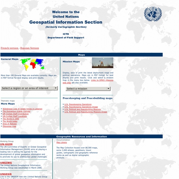
LINKS TO OTHER WEB SITES: This is the United Nations Geospatial Information Section web site. Links to other sites are provided for information only. The inclusion of these links and their content does not imply official endorsement or approval whatsoever by the United Nations. DESIGNATIONS USED: The depiction and use of boundaries, geographic names and related data shown on maps and included in lists, tables, documents, and databases on this web site are not warranted to be error free nor do they necessarily imply official endorsement or acceptance by the United Nations. COPYRIGHT NOTICE: Unless otherwise noted, the maps included on this web site are produced by the Geospatial Information Section and are copyrighted by the United Nations. Reproduction of any part without the permission of the copyright owner is unlawful.
http://www.un.org/Depts/Cartographic/english/htmain.htm
Fonds de cartes gratuits
Trois formats vectoriels pour une impression plus précise des tracés et un redimensionnement sans altération de la qualité de l'image : PDF, ODG et EMF. D'autres sites avec des fonds de cartes :- (Sciences Politiques Paris) - (Education Place) - (World Atlas) - (Georesources) - (abc teach) - (Pupil Vision) -
Map Projections Poster
|| The Globe || Mercator || Transverse Mercator || Oblique Mercator || Space Oblique Mercator || || Miller Cylindrical || Robinson || Sinusoidal Equal Area || Orthographic || Stereographic || || Gnomonic || Azimuthal Equidistant || Lambert Azimuthal Equal Area || Albers Equal Area Conic || || Lambert Conformal Conic || Equidistant Conic (Simple Conic) || Polyconic || || Bipolar Oblique Conic Conformal || Summary Table || General Notes || PDF Version A map projection is used to portray all or part of the round Earth on a flat surface. This cannot be done without some distortion.
Archives sur diploweb.com de la Cartotheque de la revue Questions internationales, publiee par la documentation Francaise. Atlas géopolitique en ligne Cartes du monde contemporain-Maps of the world. Geopolitcs maps
A place for geography students and teachers to find interesting, current supplemental materials. Produced by geography professor Seth Dixon.
ARTE - Le dessous des cartes
atlas histoire geographie [Alain HOUOT]
ATLAS HISTORIQUE - Cartographie & histoire
Related:


