

http://www.youtube.com/watch?v=8a3r-cG8Wic
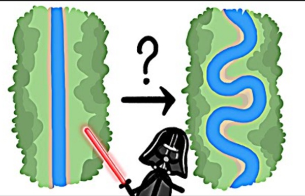
Related: Økosystemer • Resources for Teaching about Streams & FloodingClassroom Activity Objective To construct a model of a river system with levees. copy of "Overflowing the Banks" student handout (PDF or HTML)A large flat container or tray with sides, such as a wallpaper trayor aluminum baking panA sufficient amount of modeling clay to cover the bottom of the panwatersome spongesdrawing paperpencils St. Data Visualization of Pi's digits ▲ 2013 day ▲ 2014 day ▲ 2015 day ▲ 2014 approx day Harold Fisk’s Incredible Maps Track the Ghosts of the Mississippi In 1944, Harold Fisk had been following ghosts for three years. His ghosts were of the meandering Mississippi. A river, big or small, doesn’t stay still – as its waters flow it carves out new paths in a route towards its ultimate destination.
River Systems: Process and Form Compiled by Jeff Crabaugh at Carleton College (more info) (SERC) and the University of Wyoming This section provides access to a number of visualizations and supporting material that can be used effectively to teach students about physical processes acting in rivers and their floodplains. Visualizations include simple animations, visual output from numerical models, as well as numerous static illustrations and photos. For more visual resources, browse the complete set of Visualization Collections. Rivers NWS JetStream Learning Lesson: Water Cycle Paper Craft Overview Water moves from the ground to the atmosphere and then returns to the ground, however, the actual path water takes in its cycle is more complicated. There are many stops on water's journey. Students will learn how the water cycle works using 3-D paper craft activity.
Triple Divide Peak, Montana - EPOD - a service of USRA Provided by: Tom Kotynski, Great Falls Tribune Summary authors & editors: Rod Benson The peaks shown in the above photo are glacial horns located in Glacier National Park, Montana. These pyramid-shaped features are formed as three or more glaciers erode the sides of a single mountain. The larger horn in the background is Mt. Chapter 6 – Engaging and communicating with stakeholders : Biodiversity Skills After completing this chapter participants will have developed a basic understanding of communication and stakeholder engagement as applied to planning for nature, an appreciation of the benefits of identifying and understanding the stakeholders of a nature related planning project and how this knowledge helps them develop a better communication plan and a more effective stakeholder engagement strategy for successful project implementation. Participants will also have learned how to use the results of a stakeholder analysis to develop their stakeholder engagement and communication strategies and the difference between instrumental (one way) and interactive approaches, and when, and how, to use these approaches for effective planning and decision making. Download Chapter 6 – Engaging and communicating with stakeholders (pdf) Tags: Lecture notes, Training manual
Solar paint offers endless energy from water vapor: Compound catalyses splitting of water molecules Researchers have developed a solar paint that can absorb water vapour and split it to generate hydrogen -- the cleanest source of energy. The paint contains a newly developed compound that acts like silica gel, which is used in sachets to absorb moisture and keep food, medicines and electronics fresh and dry. But unlike silica gel, the new material, synthetic molybdenum-sulphide, also acts as a semi-conductor and catalyses the splitting of water molecules into hydrogen and oxygen. Teaching Notes Example Output Example OutputMap and output from FieldScope GIS. Click the image for a larger view. This example shows three different views of the United States created from FieldScope GIS—each from the Globe Watersheds Module 1: Annual Evaporation, Annual Surface Runoff, and Annual Precipitation. Grade Level This chapter is appropriate for students in grades 6 through 12.
Flood Protection - Santa Clara Valley Water District The creeks and rivers that helped form the picturesque Santa Clara Valley are an integral part of the natural beauty of the area. They are also subject to periodic flooding. Spanish settlers began arriving in the valley in 1769 and found about 10,000 Ohlone natives living in the area. The Ohlone knew during times of heavy rains the valley's creeks and rivers could overflow, and following tradition they would temporarily move their villages to higher ground when that occurred.