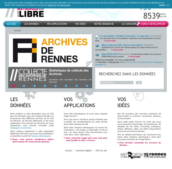


http://www.data.rennes-metropole.fr/
Related: Webmapping - Datavisualisations - Open dataCitadel on the Move > Open Data > Convert My Dataset Here you can transform your data into the Citadel format. Using the Citadel format will allow you to use our Application Generation Tool to make apps and make your data useful to other people. Citadel have created this convertor to make is easy for you to change your excel sheets, CSV files or other information into the Citadel format. To use the convertor, you will need a basic level of technical knowledge and to your data to have the following characteristics: Each entry in the dataset should have a Title, an Address, a Category (e.g. event, restaurant, parking space ect...) and an ID (a number attached to each record) all in separate columns.
How British do you feel? Visualised Visualising data online and in a newspaper is like the difference between speaking Spanish and conversing in French; there have the same roots and are ostensibly similar - but in practice are completely different. So it's proven with the results of our online Britishness survey, where we asked readers to rate how they felt about their nationality. The results provide a fascinating insight into how different parts of the UK really feel about the nation as a whole. Online, it works just like a Google map - where you can zoom in and see how people feel in each place, ranked by the maps of each country. It works using the Google Maps API, feeding from a spreadsheet form that readers are essentially filling in.
Live map of London Underground trains Loading... Powered by Leaflet — Map tiles © Thunderforest, data © OpenStreetMap contributors. Live London Underground map Free mapping data will elevate flood risk knowledge For the past 17 years we have been capturing LIDAR (Light Detection & Ranging) data in England. LIDAR uses a laser to scan and map the landscape from above and is widely considered to be the best method for collecting very dense and accurate elevation data across the landscape. We use LIDAR to help the work of the Environment Agency in many ways, including creating flood models, assessing coastal change and analysing how land is used. We now have an extensive archive of aerial LIDAR data covering nearly three quarters (72%) of England – the data mainly covers flood plains, coastal zones and urban areas.
Subcomission on Quaternary Stratigraphy, ICS » Working Groups 15.1.2015 Article in the Berlin daily newspaper Der Tagesspiegel - Anthropozän : Fallout und Plastik markieren das Menschenzeitalter. 16.1.2015 Article in the München (Munich) daily newspaper Süddeutsche Zeitung - Am Limit (At the limit). Rocks made of plastic found on Hawaiian beach. Angus Chen reports on a new type of rock cobbled together from plastic, volcanic rock, beach sand, seashells, and corals that has begun forming on the shores of Hawaii on the Science website. Archaeologists say that the 'Anthropocene' is here - but it began long ago. Science 340 19.04.13. The discussion can be viewed on the Science website and YouTube. gromgull Local OpenID no help available Data visualization books: How to start your personal library The Excel Charts Blog There are many approaches to data visualization. Take well-know authors like Tufte, Cleveland, Ware, Few, Bertin or McCandless. There is some overlap, but they all approach data visualization from a different angle. That’s great news for you: this means that you can come up with a unique point of view that reflects your interests and needs. I suppose the books you buy are consistent with that view.
The Marauders Map I was watching Harry Potter and the Prisoner of Azkaban last night and it occurred to me that I still haven't seen a good interactive version of the Marauders Map. I had a couple of hours free this morning so I decided to give it a go. I'm not entirely happy with my Marauders Map but I thought I'd share it any way. I styled OpenStreetMap map tiles using Mapbox Studio. Looking at images online of the Marauders Map used in the Harry Potter films it seems to me that the map basically contains just place labels and building footprints.
Welcome to the Virtual Crash Course in Design Thinking Welcome to the d.school’s Virtual Crash Course resource page! We know not everyone can make a trip to the d.school to experience how we teach design thinking. So, we created this online version of one of our most frequently sought after learning tools. Using the video, handouts, and facilitation tips below, we will take you step by step through the process of hosting or participating in a 90 minute design challenge. SPARQL Query Language for RDF W3C Recommendation 15 January 2008 New Version Available: SPARQL 1.1 (Document Status Update, 26 March 2013) The SPARQL Working Group has produced a W3C Recommendation for a new version of SPARQL which adds features to this 2008 version. Please see SPARQL 1.1 Overview for an introduction to SPARQL 1.1 and a guide to the SPARQL 1.1 document set.