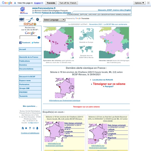


Comprendre les séismes - Musée de Sismologie et Magnétisme Terrestre - Université de Strasbourg Le relâchement des contraintes lors d’un séisme entraîne une dissipation de l’énergie sous forme d’ondes sismiques et sous forme de chaleur. Les ondes sismiques sont des ondes élastiques. Elles se propagent sans déformer durablement le milieu. Il existe principalement deux types d’ondes sismique : les ondes P et S, dites ondes de volume car elles se propagent partout à l’intérieur de la Terre, les ondes de Love et de Rayleigh, dites ondes de surface car elles se propagent guidées par la surface de la terre, elles naissent de l’interférence des ondes P et S. Les ondes sismiques sont très rapides avec des vitesses de l’ordre du kilomètre par seconde.
Modes de contraception La pilule La pilule ou contraception orale se présente sous forme de comprimés qui associent généralement deux hormones : des œstrogènes et de la progestérone. Elle est alors appelée "pilule combinée". Il existe de nombreuses pilules selon la composition et le dosage des hormones qu’elles contiennent. Classification des contraceptifs oraux selon la génération du progestatif (PDF - 94.9 ko)
GIS as Project Manager in Geophysical Applications Software GIS as Project Manager in Geophysical Applications Software The changing trends in information technology have greatly influenced the role of GIS in spatial data management, analysis, processing and presentation. It has evolved from the conventional cartography and image processing to advanced 3D visualization and dynamic graphics tools. Due to this evolving nature of GIS, it has found wide applications in a number of diverse fields. Geophysical exploration projects involve data acquisition at hundreds of spatial locations resulting in large number of datasets.
C'est toujours pas sorcier saison 1 épisode 3 en streaming Pour France Télévisions, le respect de votre vie privée est une priorité Vous pouvez exprimer votre consentement à ces traceurs en cliquant sur le bouton « tout accepter », les refuser en fermant cette fenêtre à l’aide de la croix « continuer sans accepter », ou vous informer sur le détail de chaque finalité et exprimer votre choix pour chacune d’entre elles en cliquant sur « paramétrer ». Vous pouvez modifier vos choix à tout moment en cliquant sur « Gérer mes traceurs » en bas des pages de ce site. Vous pouvez aussi consulter notre politique de gestion des traceurs pour plus d’informations.
Sismalp Vive les SVT ! Cliquez sur la classe de votre choix : Rischio Sismico - Aplicaciones de Android - Use your smartphone or pad as a vibrometer to automatically detect earthquakes and vibrations. Set an alarm in case the smartphone detects vibrations. - Use the app as an alerter and fire a sound alarm in case a quake is detected. Report an earthquake that you felt and see the real time map with the reports of the other users and their messages related to the quake. Use the chat to share information about the quakes. - Receive quasi real time notifications of the quakes detected by the global monitoring networks.
Extraits les dinosaures en BD Découvrez quelques extraits de la série Les Dinosaures en bande dessinée. Cliquez sur les vignettes pour les zoomer. Extrait du tome 1 Sciences vidéos La science est un ensemble de connaissances obéissant à des lois et/ou vérifiées par des expériences. Ces expériences reposent sur des méthodes objectives. De l'école au lycée, en passant par le collège, l'enseignement scientifique est divisé en plusieurs disciplines. Les mathématiques sont souvent divisées en différentes branches : algèbre (soustraction, multiplication, addition, division,équations, etc), géométrie (théorème de Pythagore, de Thalès, par exemple), l'analyse (fonctions affines, logarithmes, etc) et les probabilités (pourcentage, règle de trois, par exemple). La physique et la chimie expliquent des notions telles que l'électricité, l'astronomie, les unités de mesure, les mélanges, les solutions, les différents états de la matière et les changements d'états par exemple. La technologie à l'école et au collège permet d'élargir ses connaissances en informatique (tutoriels, apprentissage du code, etc), et sur l'analyse et la conception des objets techniques.