Image evolution
What is this? A simulated annealing like optimization algorithm, a reimplementation of Roger Alsing's excellent idea. The goal is to get an image represented as a collection of overlapping polygons of various colors and transparencies.
Download 91,000 Historic Maps from the Massive David Rumsey Map Collection
Three years ago, we highlighted one of the most comprehensive map collections in existence, the David Rumsey Map Collection, then newly moved to Stanford University. The Rumsey Collection, we wrote then, “contains a seemingly inexhaustible supply of cartographic images”—justifiable hyperbole, considering the amount of time it would take any one person to absorb the over 150,000 physical artifacts Rumsey has amassed in one place. By 2016, Rumsey had made almost half the collection—over 67,000 images—freely available in a digital archive that has been growing since 1996. Each entry features high-resolution scans for specialists (you can download them for free) and more manageable image sizes for enthusiasts; a wealth of data about provenance and historical context; and digital, user-friendly tools that use crowd-sourcing to measure the accuracy of antiquated maps against GPS renderings. To make this document even more compelling, it contains its own bibliography. Related Content:
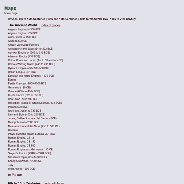
Animated Historical Maps
The first Christian communities (1st century) This map is part of a series of 17 animated maps showing History of Christianity. 4 are currently available online Independence for India and Pakistan Clement Attlee, the Labour Prime Minister who replaced Winston Churchill in July 1945, soon realised that independence for India was inevitable, but disagreements among the Indian politicians made the negotiations very difficult.
Holocaust Timeline
Jump to: 1938 1939 1940 1941 1942 1943 1944 1945 1933 January 30, 1933 - Adolf Hitler is appointed Chancellor of Germany a nation with a Jewish population of 566,000. February 22, 1933 - 40,000 SA and SS men are sworn in as auxiliary police. February 27, 1933 - Nazis burn Reichstag building to create crisis atmosphere. February 28, 1933 - Emergency powers granted to Hitler as a result of the Reichstag fire.
2.cs.cmu
This book contains 209 tales collected by the brothers Grimm. The exact print source is unknown. The etext appears to be based on the translation by Margaret Hunt called Grimm's Household Tales, but it is not identical to her edition. (Some of the translations are slightly different, the arrangement also differs, and the Grimm's scholarly notes are not included.)
Most Interesting Libraries of the World
The Royal library Black Diamond at the waterfront of Copenhagen owes its name to the black granite from Zimbabwe used for the facade of the building. The name was used by the public first and has been adapted officially later. Design by the Danish architects Schmidt, Hammer & Lassen.
Res Obscura: The Most Wonderful Map in the World: Urbano Monte's Planisphere of 1587
At some point in 1589, a Milanese cartographer named Urbano Monte made up his mind: his self-portrait needed updating. Monte carefully crouched over the section of his map that bore his self-portrait from two years earlier — close-cropped sandy hair, a trim beard, modest clothes — and pasted a new self-portrait over it. The resulting double self-portrait (Monte at 43, hidden beneath a new portrait of Monte at 45) testifies to the persistence of male pattern baldness throughout human history. It also exemplifies Monte's astonishing attention to detail.
Wind Map
An invisible, ancient source of energy surrounds us—energy that powered the first explorations of the world, and that may be a key to the future. This map shows you the delicate tracery of wind flowing over the US. The wind map is a personal art project, not associated with any company.
5 Ways to Give Yourself an Education That Kicks the Crap Out of the One You Got in School
5 Ways to Give Yourself an Education That Kicks the Crap Out of the One You Got in School One of the biggest reasons that people are denied the privilege of education is because they can’t afford it. However, today we live in a world where knowledge and information are at our finger tips like never before.
An Overview of Cryptography
As an aside, the AES selection process managed by NIST was very public. A similar project, the New European Schemes for Signatures, Integrity and Encryption (NESSIE), was designed as an independent project meant to augment the work of NIST by putting out an open call for new cryptographic primitives. NESSIE ran from about 2000-2003. While several new algorithms were found during the NESSIE process, no new stream cipher survived cryptanalysis. As a result, the ECRYPT Stream Cipher Project (eSTREAM) was created, which has approved a number of new stream ciphers for both software and hardware implementation.
How to Get a Copy of Your FBI File (idea) by narzos
The Freedom of Information Act is a powerful thing. If you've ever wanted to know just what those guvmint bastards have on you, anyway, here's your chance. Just fill in the italics in this form letter with the appropriate information, get your signature notarized, send it off, and you're in business! This should be free, though if your search returns reams of information, you may be charged 5 cents per page in duplication fees.
A history of global living conditions in 5 charts - Our World In Data
This is the introduction to Our World in Data – the web publication that shows how global living conditions are changing. This text was previously titled "A history of global living conditions in 5 charts". A recent survey asked “All things considered, do you think the world is getting better or worse, or neither getting better nor worse?”. In Sweden 10% thought things are getting better, in the US they were only 6%, and in Germany only 4%. Very few people think that the world is getting better.
Images of the social and economic world
Here is an ordinary map of the world: Click on image for a larger version Roughly speaking, on a map like this, the sizes of the countries of the world are in proportion to their actual sizes on the surface of the planet and their shapes are the same as their actual shapes. (This is only approximate though, since some distortion is inevitable when you go from a spherical planet to a flat map.)
Making Complex Selections in Photoshop - DesignFestival » For Web Design Trends
Making precise selections in Photoshop is an essential skill that every designer needs. As a print designer, you will find yourself using selections to remove objects from their background to place within ads. As a web designer, you might extract an image and place it on a website with no background. If you are a photographer, you might make a selection to remove blemishes or other unwanted features from an image. You can’t get around it; everyone uses selections, and if you make excellent selections, you’ll end up with excellent work.