
http://rea.ccdmd.qc.ca/ri/atlas/
Related: gmatter • Jeux sérieuxAccueil - Ressources pour la classe eNq1V9ty2jAQfc9XePxuG1oKSceQaWnSMpNMaRKmfcsIew2iiuSsZC79+srGJNCxKYjoicGrObt7tJej8HL5xJw5oKSCd92m33Ad4JGIKZ903dHDtXfuXvbOwhmZk+1jHb/x2LlwnYgRKbtubvbHQLj0f93efAENAOj2zpxQjGcQqZ1zmaLM/0bk9Jak+RknnAsaO0+gpiLuummmiq9OKBXqMHqpQEVYnyiYCFyFQfl550jzsd1stJvvtq1hkOMe4IDKnwJ/y5REMEQxpzHElV4SwiQYeUgW8ZCo6YAnohI5KBN43woQpBQZRiC9VP96jHgFeWaOF5vE9tLWMKRtJAFvCJ/YY60vuIKlysmrIS4vDsoMExgWpWUp/CxnR0SEVZOf4OPo3ggY4fkecM5gDy8xlSkjK38mU1MfPzLA1X3xt9IHjbsvZWvkY0wkjJBVgk+VSuXHIFgsFj6JvJQglX6Cm/sOTJOyWlC6d4vWrUWfRU/SWq/rMUZ5LBbyjetYtwlBos2AemJbapYoQwSuDpnyhtW26faNC0uJUDng16ir7HuS0Jq5qzAzA0+3LmIX+ZA9Wwu/3dM7sNpAEMlqB5fpie+v54LrMOATNdWSYINU+tCVCMuu23j5vP8WiwMvLBR/Csdl2K+WMFhneuymQptTvi8yrmqK1nDGU9lXy7JUKUhLwZMZWd7B86Aa95O26iiU1/Cardb5eadz0frQajdPUQvFPrTWendbA9iak8/rtWVTNZCalZug2dgoBt++mdo2U87Rdo1W4pvu6fwGH1A/KJjG/4djnjEWHEdANj4VIjMUKlZXviZKt28GUo3uBnv1zMmCUIvxWkF4PJsa7dDAbRNY/TA7PiWtL7IxoxFR+o1sSyXZVK9rQyXu16sH0y32GrG1gdzf1Y6W/JQNVL683lbX6Xb474su74MTNm+pUSyR80fwaqm77glTJX11ZJiv6jAMcq3aO/sLldIqrg==
Jouer avec les langues cookie barclose This website makes use of cookies to enhance browsing experience and provide additional functionality. None of this data can or will be used to identify or contact you. ited Nations Cartographic Section Web Site LINKS TO OTHER WEB SITES: This is the United Nations Geospatial Information Section web site. Links to other sites are provided for information only. The inclusion of these links and their content does not imply official endorsement or approval whatsoever by the United Nations. DESIGNATIONS USED: The depiction and use of boundaries, geographic names and related data shown on maps and included in lists, tables, documents, and databases on this web site are not warranted to be error free nor do they necessarily imply official endorsement or acceptance by the United Nations. COPYRIGHT NOTICE: Unless otherwise noted, the maps included on this web site are produced by the Geospatial Information Section and are copyrighted by the United Nations. Reproduction of any part without the permission of the copyright owner is unlawful.
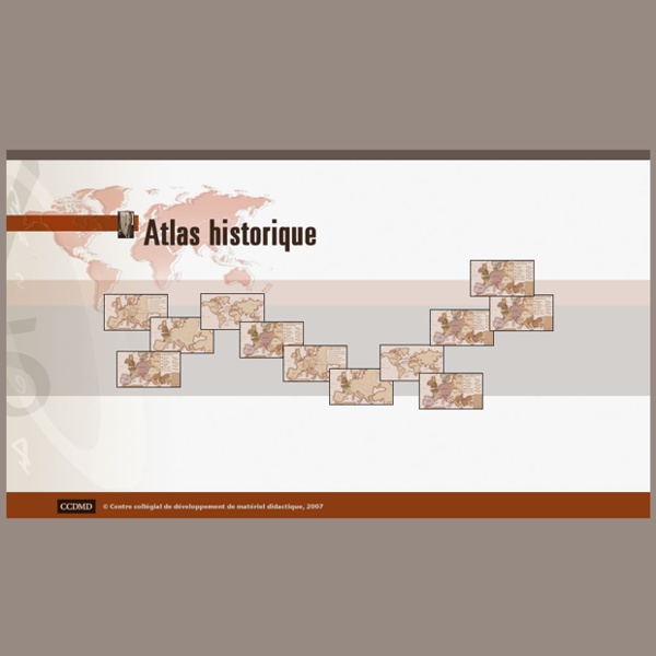
Periodis Web - Maps to be Used for the History of Europe Euratlas Periodis Web shows the history of Europe through a sequence of 21 historical maps, every map depicting the political situation at the end of each century. Here, on the left, are 21 mini-maps giving access to 21 full maps and to 84 quarters of maps with more detailed views of the states, provinces and main cities.Moreover, each map offers a historical gazetteer. Thus you can highlight in red each sovereign state and in green each dependent entity. See the Map Legend for more details.