
What causes wind to blow? Up, Up & Away: Crash Course Kids #16.2. Journey North Citizen Science: A Global Study of Wildlife Migration and Seasonal Change. Ees.as.uky.edu/sites/default/files/elearning/module09swf.swf. ONR Science & Technology Focus. Frozen Planet: Explore the polar regions. Click on the image below to start exploring the Arctic and Antarctic.
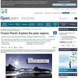
You can access geographic information provided by Arctic and Antarctic experts, watch videos of the wildlife in each region, and see important historical events as people explore the polar regions. Copyrighted image Credit: The Open University Launch Frozen Planet 9 Special thanks to British Antarctic Survey 10 for their assistance in developing this interactive map. Please note: If you've arrived at this page looking for our Frozen Planet poster, thank you for your interest, but unfortunately, demand for this item was very high and we have now exhausted our current supplies. More about Frozen Planet.
Extreme Ice Survey. Map Gallery Page. The Map Gallery contains a variety of static maps generated and regularly updated from ARMAP.
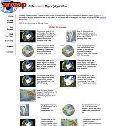
Please contact us if you’d like to suggest additional maps for our gallery. If you would like to create your own maps, launch one of the mapping applications. Click on any thumbnail for full-size image: Circumpolar view of the arctic region from space showing field research sites funded by the National Science Foundation primarily since 1999. Map of Greenland and Iceland showing research sites funded by the National Science Foundation primarily since 1999. Arctic topography shown with field research sites funded by the National Science Foundation primarily since 1999. Arctic topography shown with field research sites funded by the National Science Foundation primarily since 1999. Circumpolar view of the Arctic region from space showing NSF field research sites in 2009.
Circumpolar view of the Arctic region from space showing NSF field research sites in 2010. 300 dpi map of Svalbard. Climate Kids: Recycle THIS! SmithsonianNMNH's Channel. Challenge Based Learning - Home Page. Ocean Currents. Animations. Digital Library for Earth System Education. Climate Change and Colorado's Future Climate change is real and it is occurring faster than originally predicted.
In this video series, scientists explain how climate change is affecting the state of Colorado, while citizens share stories and solutions. One of the more recent videos features an interview with University of Colorado Boulder Professor Emeritus Al Bartlett on the "arithmetic of growth". A set of problem-based model lessons were developed by teams of middle and high school teachers with CU-Boulder scientists and science educators. Also available are the Colorado Science Standards for Climate and Energy. Dynamic Earth . Intro. Extreme Weather 2011. A year for the record books From extreme drought, heat waves and floods to unprecedented tornado outbreaks, hurricanes, wildfires and winter storms, a record 14 weather and climate disasters in 2011 each caused $1 billion or more in damages — and most regrettably, loss of human lives and property.
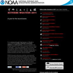
NOAA's National Weather Service has redoubled its efforts to create a "Weather-Ready Nation", where vulnerable communities are better prepared for extreme weather and other natural disasters. NOAA forecasts, advisories, watches, warnings and community-based preparedness programs have been and will continue play an even greater role in enhancing the economy and saving lives. A Weather-Ready Nation is one in which businesses, governments and the public are armed with accurate forecasts and other critical information on which to make smart decisions to protect life and property when severe weather threatens.
Get historical and current billion-dollar disaster information from NOAA's NCDC »