
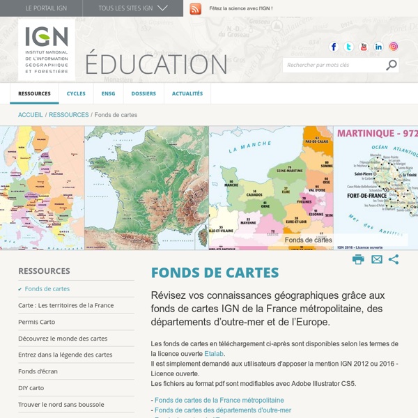
http://education.ign.fr/ressources/fonds-de-cartes
Related: CARTES • arnoldy • Educ • pédagogie et mémoire • Ressources pour Anim pédaMap Collections Home Page The Library of Congress Search by Keyword | Browse by Geographic Location Index | Subject Index | Creator Index | Title Index The Geography and Map Division of the Library of Congress holds more than 4.5 million items, of which Map Collections represents only a small fraction, those that have been converted to digital form. The focus of Map Collections is Americana and Cartographic Treasures of the Library of Congress. These images were created from maps and atlases and, in general, are restricted to items that are not covered by copyright protection. Grid Paper PDFs Free Online Graph Paper / Grid Paper PDFs Downloadable and very printable, I find these PDFs extremely useful. Tip number one! Acapela Box : create your text to speech messages 1. Your Acceptance of Terms Welcome to the Acapela-Box Website. The following Terms of Service (“TOS”) are between you and Acapela Group and constitute a legal agreement that governs your use of the Acapela-Box Website (referred to as the “Service”). You must agree to these TOS before you can use the Service by clicking the ‘Yes I agree button’ on the Sign Up page. If you do not agree to any of the following terms, please do not try to use the Service.
Earth and Moon Viewer Welcome to Earth and Moon Viewer. Viewing the Earth You can view either a map of the Earth showing the day and night regions at this moment, or view the Earth from the Sun, the Moon, the night side of the Earth, above any location on the planet specified by latitude, longitude and altitude, from a satellite in Earth orbit, or above various cities around the globe. Images can be generated based on a full-colour image of the Earth by day and night, a topographical map of the Earth, up-to-date weather satellite imagery, or a composite image of cloud cover superimposed on a map of the Earth, a colour composite which shows clouds, land and sea temperatures, and ice, or the global distribution of water vapour. Expert mode allows you additional control over the generation of the image.
Printable Moroccan Tile Designed Labels These really beautiful labels are designed with a Moroccan Tile Quatrefoil Pattern. These labels are free to download and are in editible PDF templates. Use them for just about anything including soap, gift, packages, candles and more. Included are round labels, address labels and water bottle size labels. Start printing these labels on you laser and inkjet printers. Relief Map i Hans Braxmeier, Donaustraße 13, 89231 Neu-Ulm, mail@braxmeier.de Intention The vision of Maps-For-Free is to offer free worldwide relief maps and other layers which can easily be integrated into existing map projects. Google Street View – Explore natural wonders and world landmarks Zhoucun Ancient Town Zhoucun ancient commercial town now is national AAAA level tourism scenic spot, cradle land of Lushang culture, demonstration base of national culture industry, provincial level key cultural relic protection unit, provincial level civilized scenic spot, provincial level patriotic education base and one of top ten film shooting bases in Shandong. The total area of planning scenic spots is 4.92 sq.m, having protection area, control area and transition area. The protection area consists of historical cultural streets and districts such as: Da Jie (the main street), silk market street and silver market street.
free.onlinemapfinder Please read carefully: By checking the box and clicking the button, you agree to install the OnlineMapFinder Homepage & New Tab and to receive future updates or upgrades released including for performance and compatibility purposes. Your use is governed by the End User License Agreement. You can uninstall the program at any time. Your information will be collected, used and disclosed in accordance with our Privacy Policy. Access Earth map street view, map street views, Florida state map with cities, maps of Texas with cities and more streetmaps. With the OnlineMapFinder New Tab, you can find the most accurate maps with street views, traffic reports and the best directions. OpenStreetMap Where is this? Reverse Directions Welcome to OpenStreetMap! OpenStreetMap is a map of the world, created by people like you and free to use under an open license. Hosting is supported by UCL, Bytemark Hosting, and other partners. Learn More Start Mapping