
Geospatial Center. GIS Instruction We offer on-demand instruction in fundamentals of GIS, data management, data visualization tools, and spatial analysis.
We can also provide customized training for specific disciplines or departments and access to advanced training online. More info. Albert R. Mann Library. Online GIS Data Sources - GIS at Tufts - Confluence. Welcome to the USGS - U.S. Geological Survey. Maps, Imagery, and Publications. National Atlas Data Download. Search for a Dataset - Data.gov. Data Showcase. List of GIS data sources. This is a list of GIS data sources that provide information sets that can be used in geographic information systems (GIS) and spatial databases for purposes of geospatial analysis and cartographic mapping.
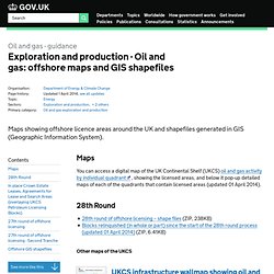
This list categorizes the sources by location of interest. Global[edit] Oil and gas: offshore maps and GIS shapefiles - Detailed guidance. Maps You can access a digital map of the UK Continental Shelf (UKCS) oil and gas activity by individual quadrant , showing the licensed areas, and below it pop-up detailed maps of each of the quadrants that contain licensed areas (updated 01 April 2014). 28th Round.
The National Map. The National Map: Viewer and Download Platform. USGS TNM 2.0 Viewer.