
Global Dimension: the world in your classroom. Discovering Antarctica - interactive education for schools. Latitude and Longitude Finder on Map Get Coordinates. Io: Compare two maps at the same scale. Geofabrik Tools. Travel book teacher guide. Where do my meals come from? (5-8 years) Britain from Above. UK - Home. Weather Forecast & Reports - Long Range & Local. Geographical Association - home.
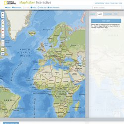
KS2 Geography. KS1 Geography. Schools Ages 4-11 - Geography Sites. MapMaker Interactive. YouTube Help The URL to a YouTube video must be the full length url.

To ensure you are using the correct URL, visit your video on youtube.com. The URL to your video will be in your browser's address (see photo for an example) Geograph Britain and Ireland - photograph every grid square! EarthCam - Webcam Network. Education and research. OS GB Mapping from The Hug. ePals. For Kids Only - Earth Science Enterprise. Volcano Videos : Videos. Discovering Antarctica - teaching and learning resources on Antarctica. Recce 3D Maps - discover the world around you. Recce - London. Recce 3D Maps - discover the world around you. National Geographic Travel. Maps: Interactive Atlases, Continent and Country Maps, Print Maps, Resources.
Online Interactive Maps - Maps of all continents and U. S. National Geographic Kids. Geography Lesson: What is a Volcano? Earthquakes 101. Volcanoes: Everything You Need. Geography Lesson: What is a Volcano? Seismic Monitor - Recent earthquakes on a world map with regional zoom, headlines, and more. World Earthquake Map. Amazing Planet. Compare United Kingdom To... Old Maps Online.