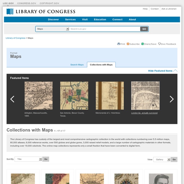
Collections with Maps
http://www.loc.gov/maps/collections/
Related: Maps And Mapping
Old maps of Seven Seas (Open Ocean)
How does it work? These instructions will show you how to find historical maps online. Getting started Type the place name in the search box to find the exact location. You can further adjust the search by zooming in and out.
Map Collection Digital Maps
The Harvard Map Collection is one of the oldest and largest collections of cartographic materials in the United States with over 500,000 items. Resources range from 16th century globes to modern maps and geographic information systems (GIS) layers. A selection of our materials has been digitally imaged and is offered both as true picture images and georeferenced copies.
Map Collection - World Sites Atlas
World Atlas A physical and a political map of the world, divided into tiles for easy navigation. Maps of Continents and Regions Select a continent or region below to jump to its map. From there, click on a country name to get maps, hotels, and information.Here is a complete list of links.
An Illustrated Guide to Space Maps
Nebra Sky Disc, Germany, 1600 BC. (Photo: Rainer Zenz/WikiCommons CC BY-SA 3.0) With its patinated bronze background and shiny gold sun, moon and stars, the 3600-year-old Nebra Sky Disc is worth gazing at for its beauty alone.
Gridded Population of the World - GPW v3
Introduction Note: "Gridded Population of the World, v4" is now available and supersedes GPWv3. GPWv4 provides gridded population estimates with an output resolution of 30 arc-seconds (approximately 1 km at the equator) for the years 2000, 2005, 2010, 2015, and 2020 based on the results of the 2010 round of censuses, which occurred between 2005 and 2014. For more details about GPWv4 and to access the new data see GPWv3 depicts the distribution of human population across the globe.
The National Map: Small Scale
The National Map is now offering a collection of small-scale datasets that can be downloaded for free. Although the 1997-2014 Edition of the National Atlas of the United States was retired in September 2014, The National Map recognizes the importance of continuing to make a collection of the small-scale datasets, originally developed for the National Atlas, available to users. Small-scale maps have an advantage over large-scale maps when there is a need to show a large area in a single view. This makes small-scale maps an ideal solution for scientists, decision-makers, and planners needing to provide a geographical context for the research projects. Generally, certain geographical and feature details found in large-scale maps are limited or omitted in small-scale maps.
Appalachian Mountain Club's Equipped: Nearly Every USGS Topo Map Ever Made. For Free.
The U.S. Geological Survey (USGS) has been producing detailed topographic maps for more than 125 years. Today they are nearly all digitized and free to download through the USGS Map Store, an incredible treasure trove for both map junkies and casual hikers alike.
World Sunlight Map
Watch the sun rise and set all over the world on this real-time, computer-generated illustration of the earth's patterns of sunlight and darkness. The clouds are updated daily with current weather satellite imagery. The Mercator projection used here is one way of looking at the spherical earth as a flat map.
TIGER Map Service Removal
The 1990 TIGER Map Service was retired in May 2010. In 2012 the Census Bureau released TIGERweb, a web mapping and streaming services application. Please update your bookmarks to Please see the following websites for more current information: TIGERweb — TIGER Reference Map viewer with data from Census 2000, the 2010 Census, and more current geography.
Related: