
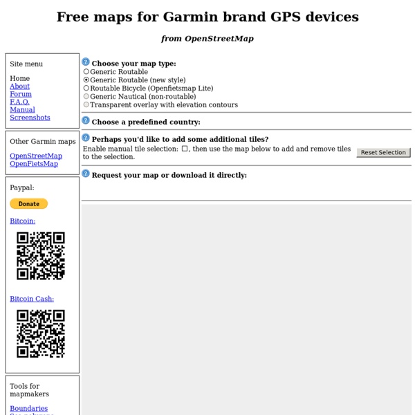
http://garmin.openstreetmap.nl/
Related: VeloHow to download free maps to your Garmin Edge 705/800/810/1000 & Touring The Garmin Edge series of cycling computers is roughly split into two categories: Those that have a mapping function, and those that don’t. Mapping in this case means that the units also have routable navigation – just like your car GPS does. Whereas the cycling GPS units without mapping may be able to follow a breadcrumb trail, but can’t route you on actual streets or provide visual maps. They’re more like an Etch-a-Sketch than a phone with useful maps. EV6 EuroVelo 6 (Atlantic - Black Sea) is long distance bicycle route going through France, Switzerland, Germany, Austria, Slovakia, Hungary, Croatia, Serbia, Romania and Bulgaria. Route distance is 3653 km. Online map You can check EV6 on Waymarked Trials EuroVelo 6 relations EV6 superroute:
Freizeitkarte - More Countries Freizeitkarte - More Countries (Release 17.01) Belgium: Garmin GPS-device: Belgium - install image for micro SD card (0.2 GB) Microsoft Windows: Belgium - archive for Garmin BaseCamp (0.2 GB) Apple Mac OS X: Belgium - install archive for Garmin BaseCamp (0.2 GB) All operating systems: Belgium - image folder for QLandkarte (0.2 GB) Best 60CSX Tips—Top Tricks for Garmin GPSMAP 60CSX—Top Ten GPS Resources You can download this Garmin 60CSX GPS Best Tricks guide as a free ebook! Choose your format: MOBI (Kindle, Mobipocket)EPUB (iPad, Nook, Kobo, Sony…)
BIGMAP Bigmap is tool to let you create big maps. See it running here: Usage is also fully documented on that page. You may want to use the newer version of that service, BigMap 2. The javascript/DHTML interface interface doesn't actually perform tile stitching as you adjust the map, it is simply displaying tile images side-by-side dynamically, however the interface provides a download link for a custom generated little perl script mkmap.pl If you download and run this script it will download the tiles and perform stitching to yield a large image. Wood Bike Rack for 5 Bikes, Fast and Low Cost Build I was looking for a solution to store the bicycles that were building up in our garage. They were laying everywhere and due to my "garbage collecting" habit, we had a lot of them. I wanted something that could:
Profiler – create a topographic profile Import file (KML, KMZ, GPX) loaded layer and topographic profile of the route. Sometimes, some files do not automatically create a profile! Zoom: 15Counter markers: 2Status: REQUEST_DENIEDАzimuth: 73°Mouse px: ...Lat./Lon.: ...Center point: -25.343780041796837, 131.03412500000002Center point location: ... How to make a topographic profile? Reset Find your area of interest on the map Select the cursor min. 2 points (max. 300) Ready – site profile will be generated in seconds Embed the chart on your site Copy and save the link to the chart Add the route to the map How To Put 100% Free GPS Maps On Your Garmin - CyclingAbout If you’re navigating with a Garmin GPS, you’re in luck. There’s a really easy way to make FREE, custom, up-to-date navigational maps that are fully routable. It will only take a few minutes! In a time of technology manufacturers trying to lock us into their ‘ecosystems’, there is a big movement to provide people with free alternatives to expensive software and programs.
Garmin GPSMap 60CSx FAQ: Common Hardware Issues 1. Common Hardware Issues 1. The spring clip inside my battery compartment broke.2. The units claim to be IPX7 (immersible for up to 30 minutes) but I dunked my unit and now it's ruined! maps.stamen.com For over a decade, Stamen has been exploring cartography with our clients and in research. These maps are presented here for your enjoyment and use wherever you display OpenStreetMap data. Toner These high-contrast B+W (black and white) maps are featured in our Dotspotting project. They are perfect for data mashups and exploring river meanders and coastal zones. Available in six flavors: standard toner, hybrid, labels, lines, background, and lite.
Vertical Bike Rack from 2x4s AdWords We use AdWords to deploy digital advertising on sites supported by AdWords. Ads are based on both AdWords data and behavioral data that we collect while you’re on our sites. Unlock GMAPSUPP.IMG (Garmin Map)Locked Map Files If you are really desperate & can’t find any other way to unlock GMAPSUPP.IMG (Garmin Map) locked map files, because software like GPSMapEdit can’t seem to be able to deal with locked map files, and its always end up with “WARNING: The map is locked. (NOTE: such maps are not supported by intention).” Here’s how to unlock GMAPSUPP.IMG (Garmin Map) locked map files : Download Garmin Unlocker (download link at the end of this post).Create “MAP Locked” directory, then copy your IMG file into directory.Write your map details in MapsetHeader.txt and MapName.txt file