
Abc-Map. ArcGIS Earth. ArcGIS Explorer. ArcReader. ArcReader is a free, easy-to-use desktop mapping application that allows you to view, explore, and print maps and globes.
ArcSWAT. AutoCAD Map 3D Free. Blueshift. Cartographer. Cesium. G.Projector. G.Projector transforms an equirectangular map image into any of over 125 global and regional map projections.
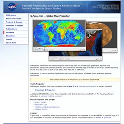
Longitude-latitude gridlines and continental outlines may be drawn on the map, and the resulting image may be saved to disk in GIF, JPEG, PDF, PNG, PS or TIFF form. G.Projector is a cross-platform application that runs on Macintosh, Windows, Linux and other desktop computers. GeoNetwork. GeoServer. Geothek. GeoTools. GeoWE. GeoWebCache. Google Earth. Google Earth pour iOS. GPS Reviser. GPS Utility. GPSBabel.
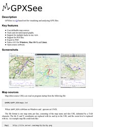
GPXSee. Description.
GRASS GIS. GvSIG. IGNMap. JOSM. Leaflet. MapIgniter2. Maputnik. Marble. Marble Maps. Marble Portable. Virtual globe and atlas Marble is a Virtual Globe and World Atlas that you can use to learn more about Earth: You can pan and zoom around and you can look up places and roads.
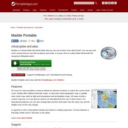
A mouse click on a place label will provide the respective Wikipedia article. Version 1.9.1 Rev 2 for Windows, English 41MB download / 62MB installed (Details) - Support PortableApps.com's development and hosting Marble Portable works best with the PortableApps.com Platform Features Of course it's also possible to measure distances between locations or watch the current cloud cover. In opposite to other virtual globes Marble also features multiple projections: Choose between a Flat Map ("Plate carré"), Mercator or the Globe. Learn more about Marble Support For help getting this app up and running, please read the following: Download Details.
MensorGIS download. Mkmap. Mkgmap. Mobile Atlas Creator. MVT Styler. Myo - Google Earth Controller. MyTourbook. OpenCPN. OpenGTS. Orfeo ToolBox. OSGeo-Live. OSM Software Catalog. Osmium Library. A fast and flexible C++ library for working with OpenStreetMap data Features The Osmium Library has extensive support for all types of OSM entities: nodes, ways, relations, and changesets.
It allows reading from and writing to OSM files in XML and PBF formats, including change files and full history files. Osmium can store OSM data in memory and on disk in various formats and using various indexes. Its easy to use handler interface allows you to quickly write data filtering and conversion functions. Code The code is available from GitHub: github.com/osmcode/libosmium. Osmium Tool.
A multipurpose command line tool based on the Osmium Library Features With the Osmium Tool you can:
PyOsmium. Python bindings to Osmium Library Features This Python module allows you to access some of the features of the Osmium Library from Python code.
Code The code is available from GitHub: github.com/osmcode/pyosmium. Documentation. PyWPS. QGIS. QMapShack. Use QMapShack to plan your next outdoor trip or to visualize and archive all the GPS recordings of your past exciting adventures. QMapShack is the next generation of the famous QLandkarte GT application. And of course it's even better and easier to use. If you want to download QMapShack visit the download page If you want to see screenshots or start with QMapShack visit the documentation page. If you have found a bug or you want a new feature read this. If you need troubleshooting have a look here Problems understanding the documentation? Route Generator. RouteConverter. SAGA. SimpleDEMViewer. About SimpleDEMViewer browses DEM ( Digital Elevation Model ) data as a relief map.
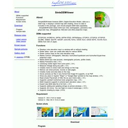
It displays colored map with shading. Since no data is included in this package, user should prepare DEM data separately. SimpleDEMViewer draws bird's-eye view, stereographs, panorama view, grayscale map, orthographical, Mercator and other projection maps. DEMs supported. SimSail. TatukGIS Free Viewer. The TatukGIS Editor is a professional, general-purpose desktop GIS mapping and data editing application with built-in scripting environment for customization and feature extensions.
Features include: Viewing Natively (without import or format conversion) opens and displays a wide range of vector, image, grid, and SQL database layer formats, including advanced spatial server geodatabases. WMS, WFS, and WMTS mapping services may be opened from the web. Comprehensive visual layer property, legend, and scale controls provide for deep customization of the map appearance. 3D Viewing 3D vector rendering, DTM model presentation, raster and vector layer draping over DTM, flood simulation, light & shadow control, camera/scene control, volumetric line and points rendering, Z & M value settings, 3D objects texturing...
Editing Coordinate Systems. Terra Incognita. TopoMapCreator. Traccar. Video Maps. Whitebox GAT. The Whitebox GAT project began in 2009 and was conceived as a replacement for the Terrain Analysis System (TAS).
Whitebox GAT was intended to have a broader focus than its predecessor, positioning it as an open-source desktop GIS and remote sensing software package for general applications of geospatial analysis and data visualization. Whitebox GAT is intended to provide a platform for advanced geospatial data analysis with applications in both environmental research and the geomatics industry more broadly.
It was envisioned from the outset as providing an ideal platform for experimenting with novel geospatial analysis methods. Equally important is the project’s goal of providing a tool that can be used for geomatics-based education. An important characteristic of Whitebox GAT is the unique open-access development philosophy adopted by the project, which lends itself to experimenting with geospatial algorithm development.