
Maps ETC. Welcome to ETC's collection of historic maps.
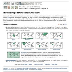
Here you will find over 5,000 maps representing many different time periods. A friendly license allows teachers and students to use up to 25 maps in non-commercial school projects without further permission. All maps are available as GIF or JPEG files for screen display as well as in PDF for printing. Use the GIF or JPEG maps for classroom presentations and student websites. Use the PDF maps for displays, bulletin boards, and printed school reports. The Internet Map Archive. Historic Maps & Tools Online. Geographicus Antique Maps. History Map Archive.
Browse the Map Archive The art and history of cartography, aka mapmaking, goes back to ancient times.
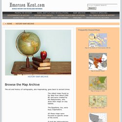
Or at least what they thought it could look like. Our English word map derives from the Latin word mappa, meaning napkin or cloth on which maps were drawn. The Map Archive. Antique maps of the World. Miklian Antiquarian Maps. Historical Maps Database. 1900 Map Collection. Carto-Mondo.fr. American Geographical Society. Historical Maps. Library of Congress - Map Collections. The Library of Congress Search by Keyword | Browse by Geographic Location Index | Subject Index | Creator Index | Title Index The Geography and Map Division of the Library of Congress holds more than 4.5 million items, of which Map Collections represents only a small fraction, those that have been converted to digital form.

The focus of Map Collections is Americana and Cartographic Treasures of the Library of Congress. These images were created from maps and atlases and, in general, are restricted to items that are not covered by copyright protection. Map Collections is organized according to seven major categories.