
Sound maps. Drawn by hand. Rumsey Historical Map Collection. The David Rumsey Map Collection was started over 25 years ago and contains more than 150,000 maps.

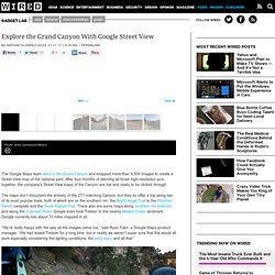
The collection focuses on rare 18th and 19th century maps of North and South America, although it also has maps of the World, Asia, Africa, Europe, and Oceania. The collection includes atlases, wall maps, globes, school geographies, pocket maps, books of exploration, maritime charts, and a variety of cartographic materials including pocket, wall, children's, and manuscript maps. Items range in date from about 1700 to 1950s. Digitization of the collection began in 1996 and there are now over 55,000 items online, with new additions added regularly. The site is free and open to the public. Explore the Grand Canyon With Google Street View. Photo: Ariel Zambelich/Wired The Google Maps team went to the Grand Canyon and snapped more than 9,500 images to create a Street View map of the national park.

After four months of stitching all those high-resolution pics together, the company’s Street View maps of the Canyon are live and ready to be clicked through. The maps don’t document the entirety of the 277-mile-long Canyon, but they do offer a trip along two of its most popular trails, both of which are on the southern rim: the Bright Angel Trail to the Phantom Ranch campsite and the South Kaibab Trail. There also are some maps along southern rim lookouts and along the Colorado River. Grand Canyon – Street View – Google Maps. Strange Maps. The Map Room: A Weblog About Maps.
Hand-Drawn Maps. OpenStreetMap. The BIG Map Blog - thousands of huge historical maps. GeoGuessr - Google Map Game.