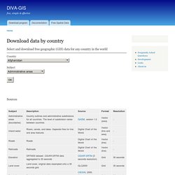

DEM. Download data by country. Select and download free geographic (GIS) data for any country in the world Sources Formats The files have been compressed and grouped in ZIP files.

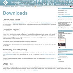
You can use programs such as 7-zip, PKZIP or StuffIt to decompress the files. Vector data are stored as ESRI shapefiles Grid (raster) data are stored as DIVA gridfiles Each "shapefile" consist of at least three actual files. Gridfiles are used in DIVA-GIS. A gridfile with "country mask" indicates that the areas outside the selected country are masked out. A DBF (dBase file) is a dbase format database table. Resolution The resolution is the size of each grid cell expressed as the length of one side of one (square) cell. Free GIS Datasets - Categorised List. Big cities. Downloads GEOFabriks. Our download server Our download server at has excerpts and derived data from the OpenStreetMap dataset available for free download.

Most of these files are updated every day – any change you upload to OpenStreetMap should be on our download server the next day. Geographic Regions Data on the download server is organised by region. The /openstreetmap directory contains files that have a whole continent's data in them, and for some continents there are subdirectories in which you find individual files for various countries.
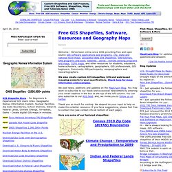
Statistical data from the European Commission. Geodata Eurostat. Free GIS mapping, ArcGIS shapefiles, tools, news, geography maps and resources. Sponsors Welcome - We've been online since 1996 providing free and open source GIS software applications and programs, city, state and national level maps, geospatial data and shapefiles, GIS tutorials, GPS programs and tools, Satellite - aerial - remote sensing programs and maps, TOPO maps, and other resources for students, educators, home schoolers, cartographers, geographers, GIS professionals, GIS beginners, Community GIS participants, neogeographers and neocartographers.

We also create custom GIS shapefiles, GIS and web based mapping projects to your specifications. Check here for more information and examples. We post news, additions and updates on the MapCruzin Blog. You may want to subscribe to our feeds and occasional newsletters by entering your email address in the box at the top of the left column. Thank you so much for visiting. Here are some of our featured shapefiles: Census 2010 Zip Code (ZCTA5) Boundaries Climate Change - Temperature and Precipitation to 2099 U.S.
U.S. Natural Earth. Koordinates. Cómo buscar y usar información científica: Guía para estudiantes universitarios 2013. Martínez Rodríguez, Luis Javier Cómo buscar y usar información científica: Guía para estudiantes universitarios 2013., 2013 (Unpublished) [Guide/Manual] English abstract This manual, addressed to higher education students, provides guidelines on scholarly information and literature; how to select and assess reliability of Web contents; how to access credible and refereed information; how to take advantage of academic library resources; which genres of scientific publications there are and how to use them; how to find and gather bibliography on a research topic; which search tools are to be chosen; how the information is to be used fairly and efficiently; how to manage references and documents; how to analyze and work with them; how to cite and reference bibliography; and how to shape academic assignments and dissertations.

Spanish abstract. Descarga de cartografía catastral en formato SHP. Search Engine OGC. Global Atlas for Solar & Wind - IRENA. ArcGIS Resources. Vías de comunicación España y Portugal - Geocatalogo.