Spatial History Project
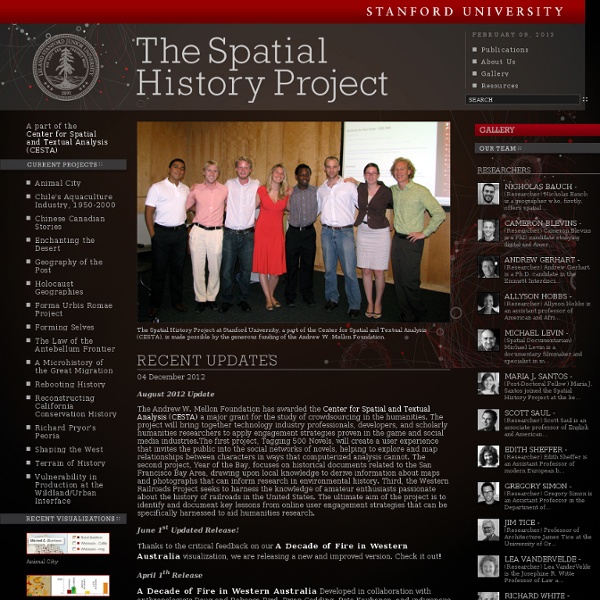
The Spatial History Project at Stanford University, a part of the Center for Spatial and Textual Analysis (CESTA), is made possible by the generous funding of the Vice Provost for Undergraduate Education (VPUE), DoResearch, The Andrew W. Mellon Foundation, and The Wallenberg Foundation Media Places Initiative. The Spatial History Project at Stanford University is a place for a collaborative community of students, staff, and scholars to engage in creative spatial, textual and visual analysis to further research in the humanities. We are part of the Center for Spatial and Textual Analysis (CESTA) along with Humanities+Design and the Literary Lab on the top floor of Wallenberg Hall. We continually seek fruitful collaborations with faculty at Stanford and beyond, and hire motivated students year round.
Related: Historical GIS
Historical GIS Research Network
This list is not exhaustive but we aim to include all of the major historical GIS websites plus additional relevant websites. Other portals are also available such as those from: the GeoHumanities Special Interest Group of the Alliance of Digital Humanities Organizations, the Humanities GIS Zotero Library, and the University of Saskatchewan's HGIS Lab. Resources are classed under: National Historical GISs Other online Historical GIS projects Historical map servers and other data sources Organisations Software Other useful sites National Historical GISs: Other online Historical GIS projects: European Communications and Transport Infrasturctures: Performance and potentials, 1825-2000: Digital Atlas of the History of Europe since 1500: Mapping Decline: St. Virtual Kyoto: Euratlas: Imagining London: Back to top Organisations:
spatial@ucsb - UCSB Center for Spatial Studies
Stanford Literary Lab
Locating London's past: a geo-referencing tool for mapping historical and archaeological evidence, 1660-1800
Locating London´s Past has created an intuitive GIS interface that enables researchers to map and visualize textual and artefactual data relating to seventeenth and eighteenth-century London against a fully rasterised version of John Rocque´s 1746 map of London and the first accurate modern OS map (1869-80). More than this, it makes these data and maps available within a Google Maps container, allowing for the analysis of the data with open source visualization tools. The interface is readily expandable to include additional data sets and maps (both modern and historic). Building on the partnerships created through the JISC funded Connected Histories project, and through a new collaboration with the Museum of London Archaeological Service (MOLA), Locating London´s Past has produced a working GIS-enabled public web environment that allows existing electronic historical data about London to be repackaged and organised around space. The project incorporates four elements.
Digital Library for Earth System Education
Climate Change and Colorado's Future Climate change is real and it is occurring faster than originally predicted. In this video series, scientists explain how climate change is affecting the state of Colorado, while citizens share stories and solutions. One of the more recent videos features an interview with University of Colorado Boulder Professor Emeritus Al Bartlett on the "arithmetic of growth". A set of problem-based model lessons were developed by teams of middle and high school teachers with CU-Boulder scientists and science educators. Also available are the Colorado Science Standards for Climate and Energy.
Welcome | CSEP Center for Science and Engineering Partnerships
Welkom op de HisGIS site! — HisGIS
SPACE - Spatial Perspectives on Analysis for Curriculum Enhancem
This website is preserved as an Archive for the NSF-funded SPACE program (2003-2007). Current resources in support of Spatially Integrated Social Science are now available at the following: The SPACE program exists to achieve systemic change within undergraduate education in the social sciences, with extension to the environmental sciences. Our approach is based on the value of spatial thinking, and associated technologies (geographic information systems and tools for spatial analysis), as the basis for greater integration among the social science disciplines, greater motivation for students, greater relevance to societal problems, greater integration of technology into undergraduate instruction, and greater employment prospects for graduates. Please download the informative brochure 372kb about the SPACE program and distribute it to others who may be interested in promoting spatial analytic thinking in the social sciences. Printable Version
Center for Spintronics and Quantum Computation
Humanities & GIS
Tutorials A Place in History: A Guide to Using GIS in Historical Research Data Archives AHDS: Arts and Humanities Data Service Includes training materials and a large number of case studies in a wide variety of subjects. Other Resources Census Data at Stanford Information on how to find and use Census data from 1790 to the present. Last modified: October 7, 2008
NSDL.org - The National Science Digital Library
Related: