
Virtual Terrain Project 8 Regular Expressions You Should Know Regular expressions are a language of their own. When you learn a new programming language, they're this little sub-language that makes no sense at first glance. Many times you have to read another tutorial, article, or book just to understand the "simple" pattern described. Today, we'll review eight regular expressions that you should know for your next coding project. Before we start, you might want to check out some of the regex apps on Envato Market, such as: You can extract emails, proxies, IPs, phone numbers, addresses, HTML tags, URLs, links, dates, etc. Extract, scrape, parse, harvest. Extract emails from an old CSV address book.Extract image sources from HTML files.Extract proxies from online websites.Extract URL results from Google.Fast regex testerAJAX-basedjQuery etc are not required.No database requiredAdvertisement ready This item is a PHP RegEx builder, which helps you to build Regular Expressions in an extensible PHP syntax. All that in a PHP syntax. my-us3r_n4m3 myp4ssw0rd
OS and Freeware GIS Applications An open source software application by definition is software that GIS users can freely access and modify the source code for. Open source projects typically are worked on by a community of volunteer programmers. Open source GIS has many benefits, such as being freely available, customizable, and supported by a large and active community of users and developers. In contrast, commercial GIS software, like Esri’s ArcGIS Pro, are fee-based and proprietary systems. The use of open source GIS is growing rapidly, and it is becoming an increasingly important part of the geospatial industry for GIS data creation, spatial analysis, visualizations, and cartography. Base Programming Languages of Open Source GIS Software Programs Open source GIS programs are based on different base programming languages. C++ Language Open Source GIS Software The first group would be the group that use C++ language for its implementation. JAVA Language Open Source GIS Software .NET Language Open Source GIS Software
Height Map Editor Home KGeography Home » Applications » Education » KGeography Features Learning by browsing the maps clicking in a map division to see its name, capital and flag Learning in game modes: The game tells you a map division name and you have to click on it The game tells you a capital and you have to guess the division it belongs to The game tells you a division and you have to guess its capital The game shows you a map division flag and you have to guess its name The game tells you a map division name and you have to guess its flag The game shows an empty map and you have to place divisions on it one by one Documentation This page was last modified on 7 October 2011, at 15:44.
QuikGrid QUIKGRID 3-D rendering of a surface represented by scattered data points QuikGrid is free software released under the GNU General Public License. Version 5.4 is the most recent release. Microsoft is phasing out support for the Windows help facility (WinHLP) that QuikGrid uses. "The Help for this program was created in Windows Help format, which depends on a feature that isn’t included in this version of Windows. Further information is available from Microsoft here. Send email to: retired at galiander.ca (Replace "at" with @ and remove spaces when entering my email address). I am happy to provide what support I can. QUIKGRID is a program which will read in a set of scattered data points (x, y, z) which represents a surface. A dredged channel on a section of the Ganges river A 200 by 200 grid representing 15,000 data points may be gridded in less than 3 seconds on a 500 Mhz Pentium (actual generation times may vary depending on how the points are distributed). QUIKGRID is easy to use.
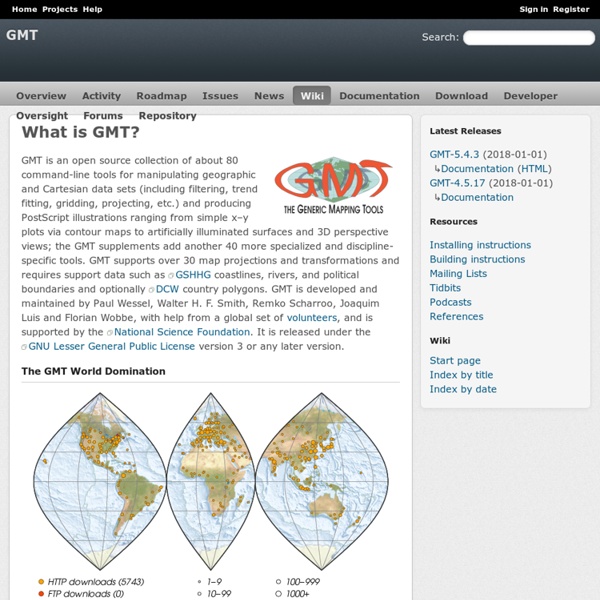
Smallpdf.com - A Free Solution to all your PDF Problems All the software a geoscientist needs [Updated 09 July 2014: Previous (2012) version for reference here. Script updated for Ubuntu 14.04 based systems.] All of my research for the past 5 years was done with free software. In this post I describe the free programs that I use every day, and what I use them for. I do not use them simply to conform to stereotypes about cheap Scotsmen. As you will see, I use them because they are portable and very powerful. Free/Libre Open Source Software (FLOSS) allows you to make as many copies the programs as you need and distribute them as you please. In this post, I have divided the programs into different categories: Operating system; Maps and Geographic Information Systems; Data Processing and Plotting; Writing Journal Articles; Conference Presentations; Programming Tools; Images, Graphics and Photos; Videos and Media; Computer Administration Tools and Miscellaneous. Operating System My current system runs a FLOSS operating system, GNU/Linux (shortened to Linux here). Programming Tools
Welcome to Earth3D li_linux.htm . Page consacree aux logiciels SUNCLOCK et XRMAP sous Linux - Francois MASSONNEAU Tuesday 24, November, 2015 SUNCLOCK - XRMAP Homepage Sunclock The web site dedicated to Sunclock has moved to Sunclock wiki. You can join us there. Thank you. Xrmap N.B. Back to the Main Page. If you want to write me (my Email) : François - Celtes System. My Snail Mail address : François - Celtes System P.O. 3D converters software - on Linux - Notes and Code Introduction : This is a page of links to 3D software files --- files that can be used to install (or develop) 3D CONVERTER programs --- on Linux systems --- especially on Ubuntu (around version 9.10 = 2009 Oct, Karmic Koala - and beyond). Many of the links are to locally stored files (source and/or binaries/packages). The code is stored locally both for convenience (especially mine), AND because some of the 3D-converter authors are going on to other projects (or to other worlds) and it is questionable whether the code will be preserved for future generations to build upon. Furthermore, the info on 3D converters for Linux is consolidated (to a great extent) on this one page --- instead of in many bookmarks in my web browsers on my various machines. In addition, many software sites go dead (or, at least, move). The 3D converter programs that I am talking about are meant to convert (on Linux) between 3D file formats like the following : - 'mm3d' Export-Model-Dialog window -