
http://www.youtube.com/watch?v=I9lquok4Pdk
Related: Mappe storicheThe 3 Best Places To Find Free Historical Maps Online The Internet is a great place to do research, but when it comes to finding data about the past, it’s not always the best option. Many old records, such as maps, are not hosted in many locations. This may make you feel as if your only option is to head to the nearest big-city library and dive into their stacks, but there are a few online resources that provide a decent selection of historical maps. They’re great for amateur researchers and anyone interested in what people thought the world looked like in the past. Old Maps Online
The Cold War - Nuclear arms race The seeds of hostility between the United States and the USSR began near the end of World War I. The Bolsheviks (later Communists) overthrew the existing Russian government. In December 1922 began the formation of the Union of Soviet Socialist Republics (USSR) under Communist control. 40 Maps That Explain The Middle East Maps can be a powerful tool for understanding the world, particularly the Middle East, a place in many ways shaped by changing political borders and demographics. Here are 40 maps crucial for understanding the Middle East — its history, its present, and some of the most important stories in the region today. Middle East History The fertile crescent, the cradle of civilization The fertile crescent, the cradle of civilizationIf this area wasn't the birthplace of human civilization, it was at least a birthplace of human civilization. Called "the fertile crescent" because of its lush soil, the "crescent" of land mostly includes modern-day Iraq, Syria, Jordan, and Israel-Palestine.
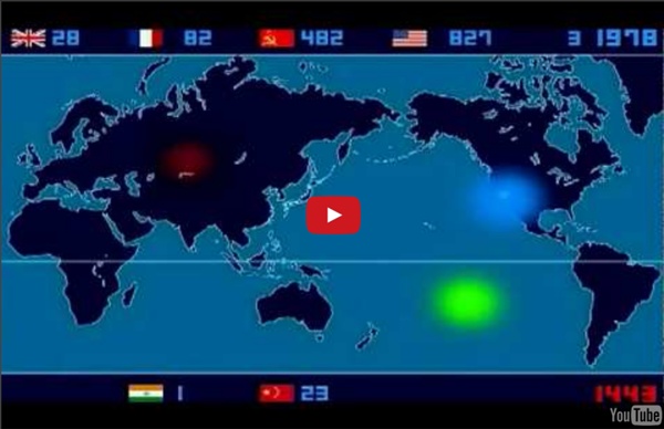
The Cold War for Kids: Arms Race During the Cold War the United States and the Soviet Union became engaged in a nuclear arms race. They both spent billions and billions of dollars trying to build up huge stockpiles of nuclear weapons. Near the end of the Cold War the Soviet Union was spending around 27% of its total gross national product on the military. This was crippling to their economy and helped to bring an end to the Cold War. Soviet and United States build up of nuclear weapons
40 maps that explain the Roman Empire by Timothy B. Lee on August 19, 2014 Two thousand years ago, on August 19, 14 AD, Caesar Augustus died. He was Rome's first emperor, having won a civil war more than 40 years earlier that transformed the dysfunctional Roman Republic into an empire. Under Augustus and his successors, the empire experienced 200 years of relative peace and prosperity. The Nuclear Arms Race The nuclear arms race was central to the Cold War. Many feared where the Cold War was going with the belief that the more nuclear weapons you had, the more powerful you were. Both America and Russia massively built up their stockpiles of nuclear weapons. The world greatly changed when USA exploded the H-bomb in 1952. This one bomb was smaller in size than the Hiroshima atomic bomb but 2500 times more powerful.
A history of global living conditions in 5 charts - Our World In Data This is the introduction to Our World in Data – the web publication that shows how global living conditions are changing. This text was previously titled "A history of global living conditions in 5 charts". A recent survey asked “All things considered, do you think the world is getting better or worse, or neither getting better nor worse?”.
Fallout Shelters From the end of World War II until the early 1990s, the world faced a period of heightened international tension and competition called the Cold War. The United States and the non-communist world faced extraordinary circumstances, which they saw as a threat to world peace, democracy, and security: Soviet development of atomic weapons,Soviets flexing their newfound nuclear muscles,Soviets extending their political ideology into Europe and elsewhere. The Federal Civil Defense Administration The federal government responded to heightened public anxiety by creating the Federal Civil Defense Administration (FCDA), later called the Office of Civil Defense, to instruct the public about how to prepare for a nuclear assault. The Eisenhower administration distributed information to educate Americans about how they could protect themselves.
Historical maps home page Down to: 6th to 15th Centuries | 16th and 19th Centuries | 1901 to World War Two | 1946 to 21st Century The Ancient World ... index of places Aegean Region, to 300 BCE Aegean Region, 185 BCE Africa, 2500 to 1500 BCE How Fallout Shelters Work After the fall of the Berlin Wall in 1989 and the dissolution of the Soviet Union, the fear of all-out nuclear war between the United States and Russia mostly faded away. The Cold War had made American citizens constantly aware of the possibility of an attack, and each presidential administration brought new kinds of urgency to the matter. President John F. Kennedy, for instance, urged Congress to provide more than $100 million for the construction of public fallout shelters, and when he advised Americans to build their own bomb shelters, millions of families followed suit.