
EarthExplorer. USGS Now Offers OrbView-3 High-Resolution Images for Free. The U.S.

Geological Survey has partnered with GeoEye to provide OrbView-3 one-meter satellite images from between 2003 and 2007 for free download via the USGS EarthExplorer. You may recall that the OrbView-3 satellite was put out of service in 2007 due to a malfunction of electronics, and has since been guided to a controlled reentry in the Pacific Ocean. The OrbView-3 dataset includes 180,000 scenes of one meter resolution panchromatic, black and white, and four meter resolution multi-spectral (color and infrared) data, providing high resolution data useful for a wide range of science applications.
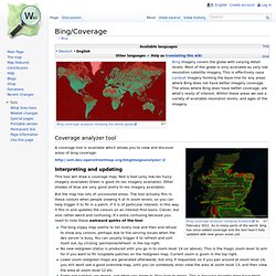
The initial data format available is GeoEye’s Basic Enhanced (L1B) product. Processing is underway for terrain corrected (L1Gst) product, and eventually the entire data set will be processed to the L1Gst level. Bing/Coverage. Bing imagery covers the globe with varying detail levels.

Most of the globe is only available as very low resolution satellite imagery. This is effectively nasa Landsat imagery forming the base-line for any areas where Bing does not have better imagery coverage. LE70090572002287EDC00. Glovis.usgs.gov/QuickStart.html. Bing Aerial Imagery Analyzer for OpenStreetMap. Gisgraphy Free Geolocalisation Services. USGS Global Visualization Viewer. Resumen de Talk-co, Vol 29, Envío 58 -