
National Geographic Map Collection. NG Trails Illustrated Maps. More than 20 Years of trail-tough maps that guide you to—and through—your favorite destinations With more than 250 titles available for America’s favorite outdoor destinations, Trails Illustrated maps are the most trusted and popular recreation maps available.
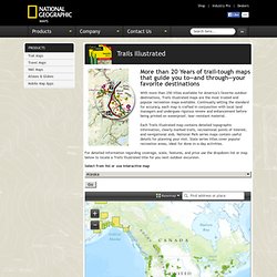
Continually setting the standard for accuracy, each map is crafted in conjunction with local land managers and undergoes rigorous review and enhancement before being printed on waterproof, tear-resistant material. Each Trails Illustrated map contains detailed topographic information, clearly marked trails, recreational points of interest, and navigational aids. NG Trail Maps. NG Wall Maps. NG Travel Maps. NG Continents, Countries, & Regions. NG Atlas Explorer. Skip to this page's content National Geographic Society P.O.

Box 98199 Washington, DC 20090-8199 USA Sign In Join Search National Geographic. MapMaker Interactive. National Geographic Maps.