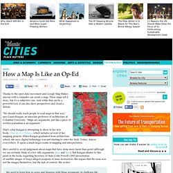

DataMaps. HK: Datasets. Start - Open Data Census. LANDSAT数据产品. How a Map Is Like an Op-Ed - Sara Johnson. Thanks to the open data movement and Google Map Maker, anyone with a computer can create a map.

These maps tell a story, but it's a subjective one. And while that can be a powerful tool, it can also skew perspectives and cloud a debate. "We should really teach people to read maps in that way," says Laura Kurgan, an associate professor of architecture at Columbia University. "Maps are arguments, just like a piece of written journalism is an argument. " That's what Kurgan is attempting to show in her new book, Close Up at a Distance, which includes several of her mapping projects. She's careful to avoid judgement about maps that have done more harm than good (although we can certainly think of a few silly arguments, here and here).
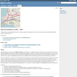
We need to learn how to agree and disagree with those arguments, to challenge the interpretations made of images that are anything but objective or self-evident. . © Spatial Information Design Lab, GSAPP, Columbia University. Queensland Government. OpenStreetMap. OSM in a Box - Wiki - Redmine. A ready-made map and geodata server including a highly configurable converter which synchronizes OpenStreetMap data (pure Java open source).

Quick links: Show cases¶ About¶ OpenStreetMap-in-a-Box (short OSM-in-a-Box or osminabox) is a dedicated server software which imports semi-structured OpenStreetMap (OSM) data and stores it as geographic features (entities). In addition, it keeps its base data in sync with the original OSM hosts. Often it’s important to have an own map server either because one needs reliable and fast webservices or because one wants to have individual map graphics (e.g. no buildings) and regionalized contents (e.g. local names). Similar software¶ ...as we are aware of (as of Mai 2011) besides osmosis (Java, Open Source) which is the robust software directly used by OSM database. Current and Past Activities¶ Team leader: Prof. Articles, Press & Presentations¶ strangeoptics-Blog about Using OSM data in GeoServer: Part3 - GeoServer , October 14, 2011. Project History¶ Notes¶ OSM with Desktop GIS. ArcGIS Editor for OpenStreetMap - Home. Esri/arcgis-osm-editor. Maperitive. The World Factbook.
People from nearly every country share information with CIA, and new individuals contact us daily.

If you have information you think might interest CIA due to our foreign intelligence collection mission, there are many ways to reach us. If you know of an imminent threat to a location inside the U.S., immediately contact your local law enforcement or FBI Field Office. For threats outside the U.S., contact CIA or go to a U.S. Embassy or Consulate and ask for the information to be passed to a U.S. official. Please know, CIA does not engage in law enforcement. In addition to the options below, individuals contact CIA in a variety of creative ways. If you feel it is safe, consider providing these details with your submission: Your full name Biographic details, such as a photograph of yourself, and a copy of the biographic page of your passport How you got the information you want to share with CIA How to contact you, including your home address and phone number.
Open Government. GOS - Geospatial One Stop.