
ICDL - International Children's Digital Library Nation Branding » Nation Brands Index 2009 The long-awaited Nation Brands Index 2009, one of the cornerstones of nation branding and one of the most relevant tools to measure the nature and power of a nation brand, has just been released. The index, which surveys people from across 20 major developed and developing countries about their image of 50 countries, has revealed on this occasion an an unprecedented phenomenon – a dramatic improvement in the rankings of one country, the United States. Indeed, if there was one undisputed headline for the Nation Brands Index 2009 results, it would be Barack Obama’s impressive effect on Brand America. Of course most people was expecting an improvement of the US standings in the Nation Brands Index with Obama’s election (and we predicted it as early as January 2009, coinciding with his inauguration speech), but the results have surpassed all reasonable predictions. Brand America improving in most brand areas Meanwhile, China rose to 22nd. The impact of the economic crisis on nation brands
Atlas of the world Cancel Edit Delete Preview revert Text of the note (may include Wiki markup) Could not save your note (edit conflict or other problem). Upon submitting the note will be published multi-licensed under the terms of the CC-BY-SA-3.0 license and of the GFDL, versions 1.2, 1.3, or any later version. Add a note Draw a rectangle onto the image above (press the left mouse button, then drag and release). Save To modify annotations, your browser needs to have the XMLHttpRequest object. [[MediaWiki talk:Gadget-ImageAnnotator.js|Adding image note]]$1 [[MediaWiki talk:Gadget-ImageAnnotator.js|Changing image note]]$1 [[MediaWiki talk:Gadget-ImageAnnotator.js|Removing image note]]$1
PowerPoint Ninja Blog - Tips & Tricks for Effective Business Pre UNdata BBC Languages – Free online lessons to learn and study with Simon Anholt World Guides: City Guides and Travel Information Dimdim: Web conferencing that just works. Dimdim provides easy, Eurostat Home Home Welcome to Eurostat The home of high-quality statistics and data on Europe Learn more about us EU key indicators Skip the carousel Explore data & tools Database Statistical themes Interactive publications Data visualisations Latest news View all Asset Publisher © Federico Rostagno/Shutterstock.com EU ports handled 3.4 bn tonnes of freight in 2024 4 December 2025 © Gorodenkoff/Shutterstock.com EU spending on R&D exceeded €403 billion in 2024 © insta_photos/stock.adobe.com Save the date: webinar on housing statistics © Drazen/stock.adobe.com Volume of retail trade stable in the euro area © teamjackson/stock.adobe.com 80% of EU enterprises report global value chain constraints 3 December 2025 © Jenny Sturm/stock.adobe.com Find out more about people with disabilities in the EU © wi6995/Shutterstock.com Industrial producer prices up by 0.1% in the euro area © batuhan toker/stock.adobe.com 25% of fatal work accidents happened in public areas 2 December 2025 Quick access Release calendar Statistics Explained Podcasts
Chartres: Cathedral of Notre-Dame - Image Collection Chartres Cathedral is among the best preserved of the major French cathedrals, with extensive programmes of sculpture and stained glass. It was a major site of pilgrimage in honour of the Virgin Mary, to whom the cathedral is dedicated. This website provides access to a comprehensive collection of images and detailed descriptions of Chartres Cathedral. Browse all images Search this collection For a more structured exploration of the monument, including interactive diagrams of windows, floor plans, and sculptural details, please see the related: Chartres Cathedral on MEDART Website This collection is hosted by the Digital Research Library (DRL) at the University of Pittsburgh on behalf of Dr. Permission is granted for educational use only, provided the appropriate copyright is acknowledged on every image used (see the copyright link on every image). Contact Us Citation URL: Version française
CO2 emissions, birth & death rates by country, simulated real-ti Travel BLAT — Go Somewhere KeePass Password Safe
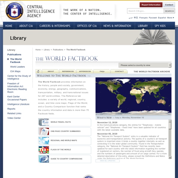
Country profiles, detailed maps, and flags of the world from the Central Intelligence
Agency. by nda_librarian May 7
Snapshot geographical information for every country by rrwaller Feb 19