
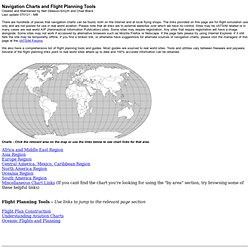
Wikimapia - Let's describe the whole world! VATSIM - Pilot Resource Centre (PRC) Navigation Charts and Flight Planning Tools Created and Maintained by Neil Dewson-Smyth and Chad Black Last update 070121 - MB There are hundreds of places that navigation charts can be found, both on the internet and at local flying shops.
The links provided on this page are for flight simulation use only and are not posted for use in real world aviation. Please note that all links are to external websites over which we have no control. Sites may be VATSIM related or in many cases are real world AIP (Aeronautical Information Publication) SIA : Service d'information aéronautique. Contrôle et réglementation de la circulation aérienne. AEROWEB. SkyVector: Flight Planning / Aeronautical Charts. Carte.Aero : le WebService de F-AERO pour Mac ou PC - Notam, cartes VAC, AIP et Météo.