
Documentation. Tutorial. Dbx. Printable Maps - Reference. The National Atlas has prepared reference and outline maps of the United States that you can print or use online.
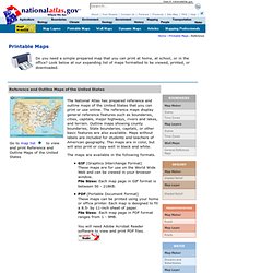
The reference maps display general reference features such as boundaries, cities, capitals, major highways, rivers and lakes, and terrain. Outline maps showing county boundaries, State boundaries, capitals, or other basic features are also available. Maps without labels are included for students and teachers of American geography. The maps are in color, but will also print or copy well in black and white. The maps are available in the following formats. Free Online Books > Computers & Internet.
Get Cheap Books & Cheap Textbooks: Perl Best Practices (ISBN 0596001738) by Damian Conway.