
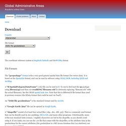
Shapefiles des départements de France. Global Administrative Areas. The coordinate reference system is longitude/latitude and theWGS84 datum.
File Formats The "geopackage"format is the a very good general spatial data file format (for vector data). It is based on the SpatiaLite format, and can be read by software using GDAL/OGR, including QGIS and ArcMap. A "R SpatialPolygonsDataFrame" (.rds) file can be used in R. To use it, first load the sp package using library(sp) and then use readRDS("filename.rds") (obviously replacing "filename.rds" with the actual filename). GEOFLA® GEOFLA® Communes France métropolitaine et DOM : format shapefile, projection Lambert-93 en métropole et UTM outre-mer Edition 2016 - Version 2.2 : Télécharger GEOFLA® 2016 v2.2 Communes France Métropolitaine (7z de 19,6 Mo) Télécharger GEOFLA® 2016 v2.2 Communes Guadeloupe(7z de 1,8 Mo) Télécharger GEOFLA® 2016 v2.2 Communes Martinique (7z de 1,8 Mo)
Data Channels.
Data Nantes. Moteurs de recherche. Plate-formes open data. Data Market places. Organismes statistiques.