
Geographic Imager - GIS and spatial imaging tools to edit GeoTIFF, DEM, MrSID and more in Adobe Photoshop. Spatial imaging tools for Adobe Photoshop Working with raster imagery doesn't have to be complicated.
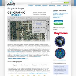
Geographic Imager® mapping software enhances Adobe Photoshop to make working with spatial imagery quick and efficient. It adds tools to import, edit, manipulate and export geospatial images such as aerial and satellite imagery.
Www.daylongraphics.com/products/leveller/ When we wanted to model terrain, the options were limited.
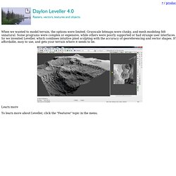
Grayscale bitmaps were clunky, and mesh modeling felt unnatural. Some programs were complex or expensive, while others were poorly supported or had strange user interfaces. So we invented Leveller, which combines intuitive pixel sculpting with the accuracy of georeferencing and vector shapes. It’s affordable, easy to use, and gets your terrain where it needs to be. Learn more.