
Development. PostGIS adds extra types (geometry, geography, raster and others) to the PostgreSQL database.
It also adds functions and indexes that apply to those types. It does this by: Building a C library that PostgreSQL can load into a postgres backend.Binding the functions and structures in that library to SQL types and functions. Since PostGIS is in C, it can make use of other libraries in C, and it does so liberally. PostGIS depends on: Geopublishing.org. L´AtlasStyler est un logiciel convival qui sert à modèler des données géographiques.
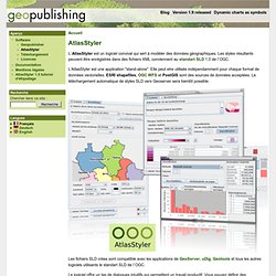
Les styles résultants peuvent être enrégistrés dans des fichiers XML conviennent au standart SLD 1.0 de l`OGC. L'AtlasStyler est une application "stand-alone". Colorbrewer: Color Advice for Maps. Create beautiful dynamic data driven maps.