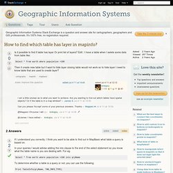

Monde géonumérique. LGV PACA : Site officiel - Ligne à Grande Vitesse Provence Alpes Côte d'Azur. Cartography - How to find which table has layer in mapinfo? - GIS. If I understand you correctly, I think you want to be able to find out in MapBasic what table a query is based on.

In your queries I would advise adding the into clause to the end of the select statement so you know what the table name is you are dealing with. For eg. Select * from earth where population >100 into qryName To determine whether a table is a query or not, you can use the following: Photo aerienne - L'Europe vue du ciel - 184.044 photos aériennes.
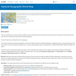
National Geographic World Map. Description This map is designed to be used as a general reference map for informational and educational purposes as well as a basemap by GIS professionals and other users for creating web maps and web mapping applications.

To launch a web map containing this service, click here. The map was developed by National Geographic and Esri and reflects the distinctive National Geographic cartographic style in a multi-scale reference map of the world. The map was authored using data from a variety of leading data providers, including DeLorme, HERE, UNEP-WCMC, NASA, ESA, USGS, and others.This reference map includes administrative boundaries, cities, protected areas, highways, roads, railways, water features, buildings and landmarks, overlaid on shaded relief and land cover imagery for added context.