
Grass Tutorial. The aim of this work is to create a GRASS tutorial based on free data, designed to be useful both to beginners and to skilled users.

The main aim is to make easier the first approach to the powerful GIS GRASS, helping the user to discover the GRASS capabilities through a series of different environmental and technical applications. This work is not certainly aimed to give an exaustive picture of the wide spectrum of possibilities that GRASS offers, but to make the user understand the logic of the system and to give a solid base from which to start to deepen his knowledge. The use of an hypertext allows the explicit writing of the links among the different parts of the tutorial. Version and license: GRASS GIS HOME.
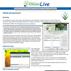
Image Classification. Vx Python GUI. Links to Manuals. Download. Command Line. OSGEO Live CD. To run GRASS on the Live DVD, click on the GRASS link in the menu.

From the “Welcome to GRASS” window select the Spearfish dataset for the location, and “user1” for the mapset, then click on [Start Grass]. This will launch GRASS into the updated GUI written in wxPython. Tip.