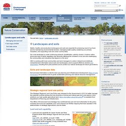

Landscapes and soils. Stable, healthy and productive landscapes and soils are essential for producing most of our food, and for maintaining environmental function, managing water quality, sustaining our primary industries, and supporting rural and urban communities.

Our rural landscape is under continuing pressure. Acidification, salinity, erosion, invasive native scrub and loss of native vegetation are seriously affecting the condition of our soil and challenging the communities and industries that depend on the land. OEH is working with local communities and land managers to collect, interpret and distribute comprehensive information about soils and landscapes, and to support efforts to reverse land degradation resulting from past practices and to protect our natural landscape for future generations.
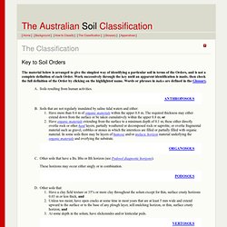
Soils and landscape data Soil and land information is vital for land use planning and infrastructure development. Strategic regional land use policy is available from Department of Planning and Infrastructure. Biomaps - Mapping Australia's Biodiversity. Key to Soil Orders. The material below is arranged to give the simplest way of identifying a particular soil in terms of the Orders, and is not a complete definition of each Order.

Work successively through the key until an apparent identification is made, then check the full definition of the Order by clicking on the highlighted name. Words or phrases in italics are defined in the Glossary. Soils resulting from human activities. ANTHROPOSOLS Soils that are not regularly inundated by saline tidal waters and either: Have more than 0.4 m of organic materials within the upper 0.8 m. 1 The 'major part' means the requirement must be met over more than half the specified thickness. 2 It is common experience that pedologists are inclined to use the phrase 'weak to moderate' when they are in doubt as to the grade of the structure.
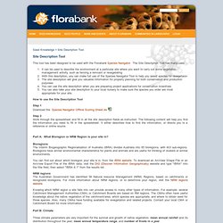
Inkscape. Draw Freely. Florabank. Site Description Tool This tool has been designed to be used with the Florabank Species Navigator.

The Site Description Tool has many uses: It can be used to describe the environment at a particular site where you want to carry out some vegetation management activity, such as fencing a remnant or revegetatingWith this description, you can make full use of the Species Navigator Tool to help you select species for revegetaion The site description will give you valuable information for property planning for both conservation and production purposes You can use the site description when you are preparing project applications for conservation incentives You can also take your site description to your local nursery to make sure the species you order are most appropriate for your site.
How to use the Site Description Tool Step 1Download the Species Navigator Offline Scoring Sheet.xls Step 2Work through the spreadsheet and fill in all the site description fields as instructed. Part B: Climate 1. Australian Collaborative Land Evaluation Project. FreeGIS.org. NSW Natural Resource Atlas – Launch Page. Spatial Information eXchange. The official source of NSW's geospatial information, possessing the most comprehensive, accurate and reliable spatial data for the State and we currently service the needs of many sectors within the spatial data community. Login access to SIX Portal is provided to Government users, rating authorities, survey sector clients and authorised Land Valuers.
Login arrangements are detailed in Support View enables users to integrate and view a wide selection of NSW spatial datasets, including property, cadastral and topographic information, satellite data and aerial photography. Online Shop provides direct access to various online searches such as land title searches, valuation services and image and plan services. Explore enables users to search, access and view LPMA's metadata, as well as to contribute to the NSW Spatial Data Infrastructure (SDI) hosted by LPMA. SIX Lite - Public access to NSW spatial information LPMA | Terms & Conditions | Privacy | Contact | Help. PhotoMaps by NearMap.