
Great Circle Distance Maps, Airport Routes, & Degrees/Minutes/Seconds Calculator. This page is designed to help you calculate answers to some common geographic questions and draw maps from simple coordinates.
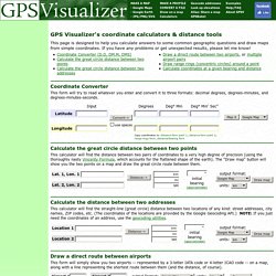
If you have any problems or get unexpected results, please let me know! Coordinate Converter. GPS Data Visualization - Variations. UrbanTick Monday, 22 June 2009 GPS Data Visualization - Variations There are lots of different possibilities of GPS data viualizations. For your joy I have put together a not comprehensive list of examples. The variety is striking and so is the range of software, although oft I have not been able to find out how it is done. GPS drawing Week_13 Top Vormstudie from Rnul Interactive on Vimeo. Software unklnown GPS Path Demo v0.4 from Finn Rudolph on Vimeo. software vvvv. GPSed. Aliensamadhi User Profile. Location Of - Map for aliensamadhi. Free Mobile GPS Tracking Service. GPS Visualizer. Assign elevation data to coordinates. The problem: Sometimes you have geographic data that consists only of latitudes and longitudes, but you want to know the altitudes as well — because, for example, you want to colorize points by height above sea level, or draw a profile of a track.

Here are some common reasons why you might have "flat" or incomplete data: Your GPS device does not log altitude, or you had poor satellite reception when you recorded the track. Your GPS device does log altitude, but it's not very accurate. You drew a track using the drawing tools in Google Earth or a similar application, like GPS Visualizer's Sandbox. You have a KML file that came from Google Maps or Google Earth's "driving directions" feature. Solution #1: DEM database GPS Visualizer's map, profile, and conversion programs now have the ability to instantly add elevation data — from a DEM (digital elevation model) database — to any type of GPS file. Solution #2: Google Maps API Quick single-point DEM database lookup: Web interface to GPSBabel. English Dutch French German Italian Norwegian Portuguese Spanish GPSBabel is a freeware program that converts GPS data from one format to another.
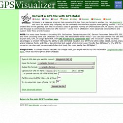
NOTE: For many input formats -- including GPX, OziExplorer, Geocaching.com LOC, Garmin Forerunner, Cetus GPS, IGC, and more (including some that GPSBabel can't read, like NetStumbler binary files) -- you can also convert your GPS files to plain text, GPX, or Google Earth KML with conversion tool. Google Earth: To convert files to KML/KMZ for Google Earth, you might want to try GPS Visualizer's Google Earth input form, which has more options than GPSBabel. Return to the main GPS Visualizer page. Draw a map from a GPS data file. Other map forms: Google Earth KML/KMZ, Quantitative data This form will automatically draw your GPS data (or KML/KMZ file, or plain text data in CSV or tab-delimited format) overlaid upon street maps and satellite imagery in Google Maps.
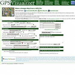
Please note that creating a map with a very large number of waypoints (or very long tracklogs, especially if speed or altitude colorization is enabled) can cause your Web browser to grind to a halt.