
Loss, Trauma, and Emotion Lab @ Teachers College :: Welcome Welcome to the Loss, Trauma, and Emotion Lab, headed by Professor George A Bonanno. Our offices are housed in the Department of Counseling and Clinical Psychology, Teachers College, Columbia University in New York City. The lab is devoted to the question of how humans cope with loss, potential trauma, and other forms of extreme life events. For the past 20 years, our research has attempted to document the variety of outcomes people show in response to such events as well as the factors that predict these outcomes. We have been especially interested in advancing research and theory about resilience in the face of extreme adversity, and the salutary role played by personality, emotion, and coping and emotional flexibility in moderating how aversive events impact our lives. This site provides information on who we are, our current research projects, our recent research papers and books, news items associated with the lab, and ways to contact us.
UNISDR Significant Earthquake Display listing of nearby significant earthquakes A series of earthquakes began on November 17, 1917, and continued into January 1918. December 26 [Dec 25 22:20 local time] was the main event with a magnitude of 6 plus and maximum Modified Mercalli intensity of VIII-IX. In Guatemala City, cracks opened in the streets, and about 40 percent of the houses were destroyed or seriously damaged. The Colon Theater collapsed while filled with people; school buildings, churches, asylums, hospitals, sugar mills, the post office, the railway station, and the British and American legation buildings were thrown down, and many occupants were killed or injured. Dec 25, 1917, magnitude 6.0, 100 deaths in Guatemala. Series of earthquakes on Dec 25 and Dec 27, 1917, and Jan 4 and 24, 1918, that destroyed nearly every building in Guatemala, 2650 killed. Very strong earthquake in 1917, completely destroyed the Capital City [Guatemala], now rebuilt on the same place; many peopled killed and injured.
Introducción a MATLAB Por último, también pueden programarse funciones. La primera instrucción de un fichero que contenga una función de nombre fun debe ser: function [argumentos de salida]=fun(argumentos de entrada) Es conveniente que el fichero que contenga la función se llame como ella; así, la función anterior debería guardarse en el fichero fun.m; por ejemplo, si se desea programar una función que calcule, mediante el algoritmo de Euclides, el máximo común divisor de dos números naturales, basta escribir un fichero euclides.m cuyo contenido sea: function m=euclides(a,b) % Cálculo del máximo común divisor de dos números naturales % mediante el algoritmo de Euclides if a<b c=b; b=a; a=c; end while b>0 c=rem(a,b); a=b; b=c; end m=a; Si, una vez escrito el fichero anterior, en el espacio de trabajo o en un programa se escribe la instrucción mcd=euclides(33,121) en la variable mcd se almacenará el valor 11. Las variables de una función son siempre locales. >>x=15;>>mcd=euclides(x,3);>>xx =15
CNRD | ITT - Institute for Technology and Resources Management in the Tropics and Subtropics Centers for Natural Resources and Development CNRD is connecting universities worldwide promoting academic exchange and cooperation in the area of the management of natural resources, in particular related to Water, Land, Ecosystems and Renewable Energy resources. It fosters interdisciplinary approaches to natural resources management related to the Post 2015 Agenda and the envisioned Sustainability Goals (SDG). Membership to the network CNRD is open for any HEI which offers to significantly contribute to reaching the goals of CNRD. exceed The program “exceed – Higher Education Excellence in Development Cooperation” aims at supporting German HEIs together with their partners in developing countries . By these activities, researchers and institutes are encouraged to continue and expand their commitment in development cooperation. themes of CNRD objectives of CNRD The CNRD will pursue the following objectives:
Anexo:Terremotos en Guatemala Eventos sísmicos son relativamente frecuentes en Guatemala. El país se encuentra en una zona de fallas que atraviesa Guatemala y forma el límite tectónico entre la placa del Caribe y la placa Norteamericana. Esta zona de fallas se conforma principalmente por la falla de Motagua y la falla de Chixoy-Polochic. Además, a lo largo de la costa sur-occidental de Guatemala, la placa de Cocos empuja contra la placa del Caribe, formando una zona de subducción marcada por la fosa Mesoamericana, ubicado a unos 50 kilómetros de la costa del Pacífico de Guatemala. El terremoto más destructivo en la historia reciente de Guatemala fue el terremoto de 1976 con una magnitud de 7,5 Mw y un hipocentro ubicado a sólo 5 km de profundidad. Un número de sismos con magnitudes relativamente bajas causaron daños mayores en áreas muy localizadas, lo que puede explicarse en parte por su hipocentro poco profundo. Terremotos notables[editar] Terremotos notables en la historia de Guatemala incluyen[4]:
Envíos Envíos en línea ¿Ya tiene nombre de usuario y contraseña para Psykhe? Ir a Iniciar sesión ¿Necesita nombre de usuario y contraseña? Es necesario registrarse e iniciar sesión para poder enviar artículos en línea y para comprobar el estado de los envíos actuales. Directrices para autores Las condiciones de publicación en Psykhe son las siguientes: 1. 2. 3. 4. 5. 6. 7. En la primera página, el título en castellano e inglés, el nombre e institución de los autores, y el título corrido (título abreviado que irá en el encabezado de cada página);En la segunda página, un resumen, de hasta 180 palabras, y un máximo de 5 Palabras Clave, ubicadas a continuación del resumen (tanto el resumen como las palabras clave deben estar en castellano e inglés);En la página siguiente a las Referencias, una Nota del Autor que debe incluir el nombre e institución de cada autor, señalando el autor a quien debe dirigirse la correspondencia relativa al artículo, con su dirección y e-mail. 8. 9. 10.
Home | Marine Ecosystem-Based Management Marine Ecosystem-Based Management seeks to manage marine resources in ways that protect ecosystem health while providing the ecosystem services needed by people. Rather than focusing solely on a single species or resource, MEBM incorporates science and balances the demands of user groups to create management strategies that are more likely to be sustainable than traditional approaches. more >> This site presents case studies covering more than sixty places that are experiementing with an MEBM approach. By drawing lessons from real-world experience, we seek to enable managers, policymakers, scientists, stakeholders and students to learn how to improve the practice of marine resource management. more >> Access our information database in one of two ways:
Instituto Nacional de Sismologia, Vulcanología, Metereología e Hidrologia La mayor parte del conocimiento sobre el interior de la Tierra se debe al estudio de la propagación de las ondas sísmicas, las cuales nos permiten medir indirectamente algunas propiedades físicas (densidad y constantes elásticas) del medio a diferentes profundidades. Por sus propiedades físicas la Tierra se divide en: corteza, manto y núcleo, ver Figura 1. La corteza es la parte exterior de roca, su espesor varía de 20 a 100 Km. en los continentes, y unos 6 Km. en los oceános. La zona que separa a la corteza del manto se conoce como discontinuidad de Mohorovii. El manto tiene un espesor de aproximadamente 2,900 Km., el 45% del radio terrestre. El núcleo tiene un radio de 3,400 Km. aproximadamente, un poco más del 50 % del radio terrestre. La Teoría de Placas Tectónicas propone que los primeros 100 Km. de la superficie terrestre se comportan como un material rígido, quebradizo y poco denso, denominado litósfera. ¿Qué se puede hacer para disminuir los daños que producen los terremotos?
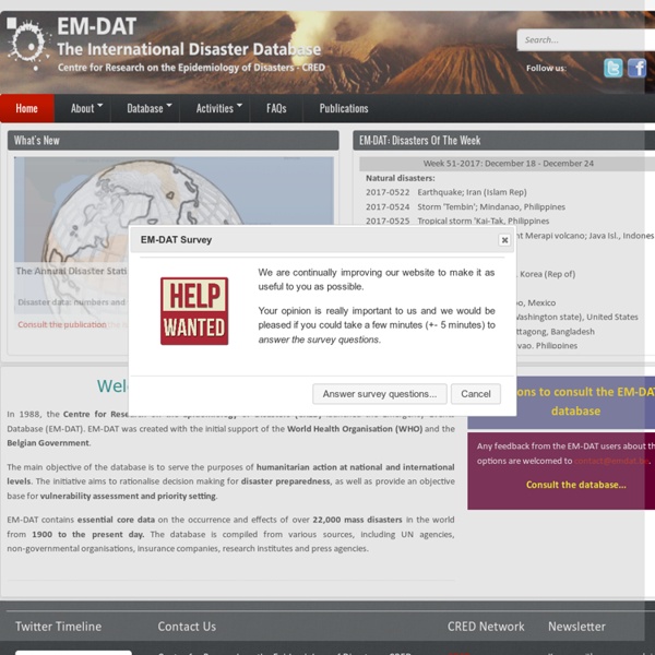
"Since 1988 the Centre for Research on the Epidemiology of Disasters (CRED) has been maintaining an Emergency Events Database EM-DAT. EM-DAT was created with the initial support of the WHO and the Belgian Government.
The main objective of the database is to serve the purposes of humanitarian action at national and international levels. It is an initiative aimed to rationalise decision making for disaster preparedness, as well as providing an objective base for vulnerability assessment and priority setting.
EM-DAT contains essential core data on the occurrence and effects of over 18,000 mass disasters in the world from 1900 to present. The database is compiled from various sources, including UN agencies, non-governmental organisations, insurance companies, research institutes and press agencies.[/no-glossary]" by macopa Apr 30