
Google Earth Visualization Global Warming Interactive, Global Warming Simulation, Climate Change Simulation First Mammal Species Goes Extinct Due to Climate Change The humble Bramble Cay melomys has disappeared from its island in the Great Barrier Reef. Climate Change Making Calendars Run Amok People in Central Asia are recalibrating their system of time to adapt to a changing ecosystem. The Great Energy Challenge The National Geographic initiative is a call to action to become actively involved, to learn more and do more—to change how we think about and consume energy so that we can all help tackle the big energy questions. U.S.' The Arctic Is Melting.
Around the Solar System - In Focus Robotic probes launched by NASA, the European Space Agency (ESA), and others are gathering information all across the solar system. We currently have spacecraft in orbit around the Sun, Mercury, Venus, Earth, Mars, and Saturn, and two operational rovers on Mars. Several others are on their way to smaller bodies, and a few are heading out of the solar system entirely. Although the Space Shuttle no longer flies, astronauts are still at work aboard the International Space Station, performing experiments and sending back amazing photos. With all these eyes in the sky, I'd like to take another opportunity to put together a recent photo album of our solar system -- a set of family portraits, of sorts -- as seen by our astronauts and mechanical emissaries. Use j/k keys or ←/→ to navigate Choose: Dozens of coronal loops gyrate above several active regions of the sun, as they were rotating into view on October 17, 2012. A Martian eclipse from the past.
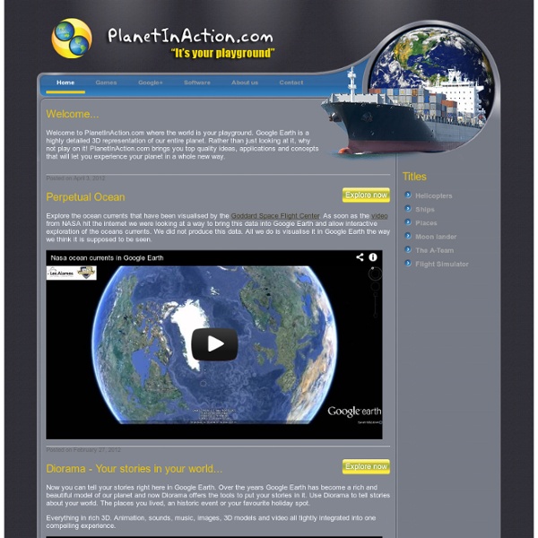
Email Marketing and Email List Manager Google Maps and Google Earth - Nearby - KML - UK and Ireland by Barry Nov 08, 2010 Thanks to the people at getmapping.com, who have taken the Historic 1940s OS Maps available at NPEmap.org.uk, I hearby present: ... Jan 03, 2010 The BGS recently publised the Geology of Britain website, which makes available a Geological map of Great Britain online in an ... Dec 17, 2009 Slashgeo has been for the last few months running a poll on users acceptance of the Google Earth/Maps TOS. Jul 15, 2009 It’s about time did some Google Earth hacking, so thanks to the people at Geocubes, have made a new interactive layer for ... May 08, 2009 There is a tool on nearby for taking a multi destination route – and loading it into Google Earth. Feb 20, 2009 There is lots of hype of Atlantis being found found in Google Maps, and while its clear its NOT Atlantis itself, maybe it is ... Feb 02, 2009 Besides the layers included in the new Earth Version 5 for Ocean data, I’ve just found this impressive collection: Google ... Jan 19, 2009 or even via feedburner.com Coming Soon
Wind Power Interactive, Wind Power Simulation, Wind Power Simulator Skip to this page's content Advertisement National Geographic Society P.O. Washington , DC 20090-8199 USA Inspiring people to care about the planet since 1888 Learn More » Sign In Search National Geographic Connect With Us Main Navigation Home Daily News The Magazine Maps Science Education Games Events Blogs Movies Explorers Apps Trips Video Video Home Nat Geo TV Nat Geo Wild Animals Kids News More Photography Photography Home Photo of the Day Galleries Wallpapers Photo Tips Photographers Buy Prints Newsletters Animals Home Facts Photos Animal Conservation Environment Environment Home Energy Freshwater Global Warming Habitats Natural Disasters The Ocean The Green Guide Travel Travel Home Top 10 Destinations A-Z Trip Ideas Travel Blogs Traveler Magazine Our Trips Adventure Adventure Home Gear Ultimate Adventurers Parks Blog Nat Geo Trips AllTrails Television National Geographic Channel TV Schedule Shows Kids Home Videos Animals & Pets Countries Fun Stuff Community Animal Jam Little Kids Shop Store Home Gift Finder Channel Shop Kids Shop Shop by Catalog Shop by Theme More »
Creating a Learning Environment for Young Children The following is an excerpt from Teaching Our Youngest. Introduction What do effective preschool teachers and child-care providers do? What does a classroom that can enhance learning look like? Effective preschool classrooms are places where children feel well cared for and safe. Young children need teachers who welcome all children to their classrooms, including children from various cultures, whose first language is not English and children who have disabilities. Effective preschool teachers and child care providers: Know when children can figure out new ideas and concepts on their own and when it is important to explain things to them step-by-step. A Classroom to Enhance Learning Ms. She uses cupboards, screens, and tables to divide her classroom into children's work areas. Most of the books on the bookcases come from the classroom library, but others are part of a revolving collection of books that Ms.
Who Links To Me? Map overlays for Google Earth Introduction I put together a KML file that overlays maps from Google, Yahoo, Windows Live (MSN) and other sources in Google Earth. Why? You may find useful to show street maps (even from Google) in Google Earth for areas that are not covered well by default. For example Google Maps (and Earth) has bad coverage over some areas like Eastern Europe where Yahoo and MSN live maps are much better. View in Google Earth Or click this link for default values: >>> maps.kml <<< Note: The map displayed when you are zoomed out will not match exactly the country borders displayed by Google Earth. Information for KML Developers If you want to include a map overlay in your KML file, select a map type in the form above, then copy/paste the following code into your file. Screenshots Screenshots for: Minsk, Kiev, Bucharest, Sofia, Cairo, Shanghai. Minsk, Belarus (Windows Live Hybrid / Google Earth): Kiev (Kyiv), Ukraine (Windows Live Hybrid / Google Earth): Bucharest, Romania (Yahoo Hybrid Labels):
Breathingearth - CO2, birth & death rates by country, simulated real-time