MapMaker Page Maps
You may download this map, modify it, and use it in any way, provided that you charge no fee for anyone to view or use any item that includes or is based on this map. If you use this map, you must include the following credit in association with it: "Map courtesy National Geographic. National Geographic does not review or endorse content added to this map by others." Any use in a product or service for which a fee is charged, by you or someone else, requires a license; contact natgeocreative@ngs.org for more information and to obtain a license.
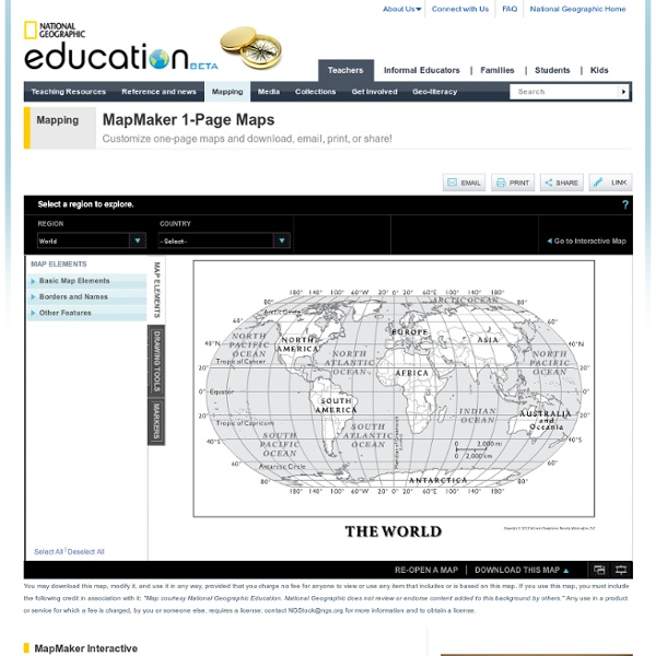
http://education.nationalgeographic.com/education/mapping/outline-map/?ar_a=1
For teachers - Templates - Microsoft Office
<div class="cdOLblEmRed cdSearchResultsMargin">Warning: This site requires the use of scripts, which your browser does not currently allow. <a href=" how to enable scripts.</a><br/></div>
Harcourt: Facts about Texas
State flower: Bluebonnet Capital: Austin State bird: Mockingbird Population: 20,851,820 Statehood: December 29, 1845, 28th state
Reading Rockets: English Language Learners and the Five Essential Components of Reading Instruction
Click the "References" link above to hide these references. August, D., Hakuta, K. (1997). Improving schooling for language-minority children: A research agenda. Washington, DC: National Research Council. Center for the Improvement of Early Reading Achievement. (2001). Put reading first: The research building blocks for teaching children to read.
Maps ETC Homepage
Welcome to ETC's collection of historic maps. Here you will find over 5,000 maps representing many different time periods. A friendly license allows teachers and students to use up to 25 maps in non-commercial school projects without further permission.
Graphic Organizer Worksheets
Advertisement. EnchantedLearning.com is a user-supported site. As a bonus, site members have access to a banner-ad-free version of the site, with print-friendly pages.Click here to learn more. (Already a member? Click here.) Graphic Organizers
SLCC - Learning Handouts
Skip navigation links ugs : life and learning in sync Sanger Learning Center is UT Austin’s main resource for academic support. Each year, we help more than 20,000 students achieve their academic potential.
"Perl for Newbies" - Part 1 - The Perl Beginners' Site
Strings and data structures that are unlimited in size, nested to any depth. Powerful syntax and built-in functions. Extended, built-in support for regular expressions. Support for namespaces, classes, and objects. Functional Programming capabilities such as closures and continuations.
Flashcards Library
Online Conversion
Online testing Create online quizzes free quiz maker ClassMarker
Watch Free Documentaries Online
Modern World History Lesson Plans for High School
Related:
Related: