
CultureGPS Hofstede's Cultural Dimension Disclaimer: Culture influences patterns of thinking which are reflected in the meaning people attach to various aspects of life and which become crystallized in the institutions of a society. This does not imply that everyone in a given society is programmed in the same way: there are considerable differences between individuals. Statements about culture do not describe "reality", they are all general and relative. The cultural systems of nations and their subdivisions are very complex. Usage of the tool is at your own risk!
WorldMap of SocialNetworks January 2017: a new edition of my World Map of Social Networks, showing the most popular social networking sites by country, according to Alexa & SimilarWeb traffic data (caveat: it’s hard to understand the impact of Google+ because it is part of Google domain traffic). There are a lot of news since last January: Facebook is still the leading social network in 119 out of 149 countries analyzed, but it was stopped in 9 territories by Odnoklassniki, Vkontakte and Linkedin. It’s interesting to see that in some countries, like Botwana, Mozambique, Namibia, Iran e Indonesia, Instagram wins and that some African territories prefer LinkedIn. Overall LinkedIn conquers 9 countries, Instagram 7, meanwhile VKontakte and Odnoklassniki (part of the same group Mail.ru) grow up in Russian territories. But what’s going on behind the first place? Instagram is the second social network in 37 countries. [Versione italiana dell’analisi di gennaio 2017] inShare1,047 But what’s going on behind the first place?
The map as metaphor John Markoff wrote an article in the NY Times “The Cellphone, Navigating Our Lives”. He calls the cellphone “the world’s most ubiquitous computer”, since the 4 billion subscriber mark has been reached recently – or even a while ago according to another research agency. Although it is a fact that most of these 4 billion people do not use smartphones able to do more advanced computing task, it is indeed an interesting thought to consider the mobile device as the actual incarnation of the ubicomp vision, as has already been argued by Bell & Dourish (pdf file: ‘Yesterdays Tomorrows’). With the dominance of the cellphone, a new metaphor is emerging for how we organize, find and use information. The question is: Is the map indeed a universal metaphor? This raises concerns for outsourcing this ability to our technological devices. The article also discusses some of the privacy issues that may arise from this location-aware services. (story found via @Rhymo on Twitter – thanks!) == update ==
The Overview Project » About Overview is an open-source tool to help journalists find stories in large numbers of documents, by automatically sorting them according to topic and providing a fast visualization and reading interface. Whether from government transparency initiatives, leaks or Freedom of Information requests, journalists are drowning in more documents than they can ever hope to read. Overview does at least three things really well. Find what you don’t even know to look for.Find broad trends or patterns across many documents.Make exhaustive manual reading faster, when all else fails. Search is a wonderful tool when you know what you’re trying to find — and Overview includes advanced search features. In other cases you’re interested in broad patterns. But even when you really do have to read every document manually, Overview is a huge help. For more about the different ways to use Overview, see our post on the different types of document-driven stories. You can upload your documents directly as PDF files.
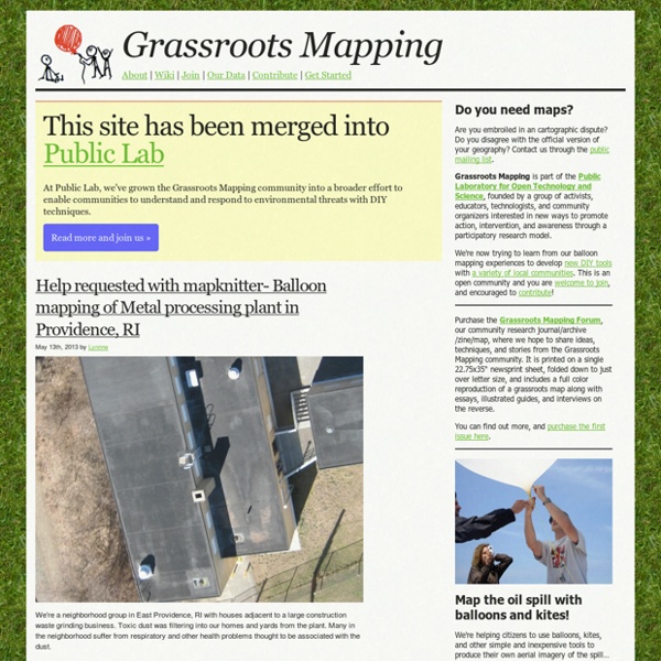
PLOTS Map Knitter CISCO+A'dam Urban EcoMap AMSTERDAM, Dec. 1, 2009 - Cisco and the city of Amsterdam today announced the rollout of Urban EcoMap, an Internet-based tool that enables cities around the world to provide smarter climate change information for their citizens. A city can use Urban EcoMap to create awareness among its residents of the impact of carbon emissions on their urban environment. It provides information on carbon emissions from transportation, energy and waste among neighborhoods, organized by district, and delivers tips on ways to reduce a resident's carbon footprint. Facts/Highlights: The application is an extension of the Urban EcoMap launched in May 2009 in the city of San Francisco. Additional Information: Urban EcoMap is part of the global Urban Services Platform approach toward which visionary cities and the information and communications technology (ICT) industry are moving. Availability: Urban EcoMap is scheduled to be available for public use by citizens of Amsterdam on Dec. 1. Supporting quotes: Images:
Polymaps Flash Earth - Zoom into satellite and aerial imagery of the Earth in Flash - StumbleUpon