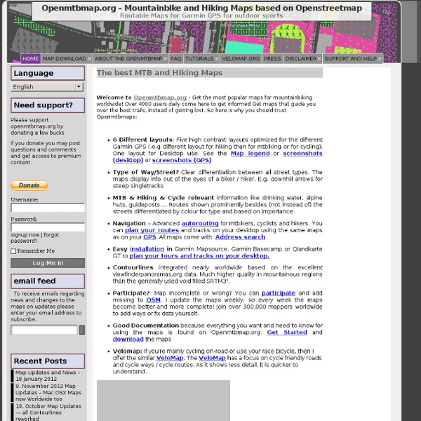


VeloMap.org-Roadbike - Vélo - cartes basées sur OpenStreetMap Map Download « VeloMap.org -Roadbike – Bicycle – Maps based on Openstreetmap Why are there New maps (odbl) and Old Maps CCBYSA? Well, Opentstreetmap changed their license in July 2012. As there needed to be quite a lot of contributions to be deleted, the state of the maps was for some time quite troublesome. The New Maps Can be found Here – They are suitable for Windows and Linux (Qlandkarte GT) Maps for Mac OSx (new odbl) can be found Here The Old Maps – not recommended anymore – (Data from 6. Programs to Display the VeloMap Besides being shown on (nearly) all Garmin GPS devices – most People will use Garmin Basecamp (v3 or later) or Garmin Mapsource to show the maps on their Desktop and plan tours/trips. For anyone on the good side of earth Openmtbmap.org maps are also correctly shown in Qlandkarte_GT – QLandkarte_GT is compatible with all big OS (Linux, MacOSx and well Windows too). For Linux/Unix users there is also a script to unpack the maps, and automatically create a gmapsupp:
Les 400 culs Dual Cycle Network Map Transport Paradise To make cities into wonderful places to live and work, there needs to be a comprehensive cycle network, usable by all ages. This is likely to be achieved by taming urban main roads and creating quiet routes. Urban main roads are highlighted in red. Solid red lines show where cycle lanes or tracks have been provided. Dotted lines show where they have not. Blue lines show quiet local routes (NCN is shown in light blue). Main roads have been identified as urban if they have residential side streets, or are tagged as 30mph.
Kraksontracks Wat bevatten de servers momenteel: - Eén archief database met mountainbike tracks in België en Europa gelogd voor 31-12-2009. - Een database met de tracks in België en het buitenland gelogd gedurende 2010. Hoe lid worden: De toegang tot de database is volledig vrij. Door het inzenden van een track naar de database verklaart de inzender zich akkoord met de huisregels van Kraksontracks en geeft hij daardoor toestemming zonder voorbehoud aan alle leden van de database om zijn ingezonden track vrij te gebruiken. Werkwijze om tracks binnen te halen: - Ga naar Download tracks- Klik op de downloadserver die je wil bezoeken- Klik op de file die je wil downloaden. MTB Tracks van voor 01-01-2010 werden verzameld in het archief.Het archief is vrij van paswoord te downloaden. Hoe bijdragen (niet verplicht) leveren:- De inzending moet een zelf gereden Active Log track zijn welke alle active log gegevens bevat. Samenvatting hoe een inzending er moet uitzien:1. Totaal aantal beschikbare tracks:
Gratuit dans le monde entier routable cartes Garmin d'OpenStreetMap Les plus beaux itinéraires sur RouteYou TELEPOPMUSIK BrainCrunch - Oxford Bus & Cycle Map in print Android For information about Android and OpenStreetMap see also the Android category, or Software/Mobilephones. Android software supporting OpenStreetMap General information Because the following table contains a warning that it shouldn't be modified because a robot builds it (is this a Wiki?) This table is generated automatically by a bot. Map display features Routing Providers See also for comparison. Track-making features Monitoring features OpenStreetMap editing features Accessibilty Images OSM on Android Oruxmaps v2.3.4beta with HikeBike Map in Track Logging Mode VGPS v5.2 is runing on Android ZANavi ZANavi running on Android Videos: OpenStreetMap, from the Kabul Airport to Jalalabad - Describes OSM in general and using MapDroyd to view maps. Android specifics in other pages Accessibility Talkback, a free Google speech synthesizer is available from the Android Market. Developer tools Problems with Android GPS fix issues
BIGMAP Bigmap is tool to let you create big maps. See it running here: Usage is also fully documented on that page. You may want to use the newer version of that service, BigMap 2. The javascript/DHTML interface interface doesn't actually perform tile stitching as you adjust the map, it is simply displaying tile images side-by-side dynamically, however the interface provides a download link for a custom generated little perl script mkmap.pl If you download and run this script it will download the tiles and perform stitching to yield a large image. This is one of several approaches to creating Static map images. The generated perl script is kind of a bulk downloading tool, and so should be handled with consideration of the tile usage policy, although unlike other tile downloaders (see Category:Tile downloading) it only operates at a single zoom level, and the BigMap interface would encourage people to avoid stupidly big areas of tiles. In Fedora it's See also
Tracés de GPS, parcours pour GPS, convertisseur GPS GPSies is my hobby website and is funded by advertising. Do you want to disable the advertisements and like to support the GPSies project ? FullscreenMore... 5 km 3 mi Leaflet | Tiles Courtesy of MapQuest Map data Open Street Map and contributors, CC-BY-SA Legende, HikeBikeMap.de HillShading Please enjoy this Tracks, and have fun browsing through the still vast amount of existing tracks in the whole world. GPSies - Tracks for Vagabonds Free GPSies apps GPSies Software By foot [38,120,207 miles] By wheel [107,596,189 miles] With animals [918,204 miles] By motor [31,134,822 miles] On water [10,912,995 miles] At winter [929,518 miles] Others [13,693,485 miles] Tracks in Extended search © 2014 GPSies® 3167 visitors online
Massive Attack OpenCycleMap.org - the OpenStreetMap Cycle Map