
Cyclone phase evolution: Analyses & Forecasts Cyclone phase evolution: Analyses & Forecasts This page presents historical, analyzed (current), and model-forecast cyclone phase diagrams for northwestern hemisphere cyclones with the goals of improved structural forecasting, structural transition (subtropical/tropical/extratropical), cyclogenesis, and providing measures of structural predictability. Please note that these products are experimental and not official forecasts. For official forecasts in the U.S., please refer to the National Weather Service and National Hurricane Center. Note: ECMWF analyses are provided by TIGGE and delayed by 2-3 days by ECMWF.
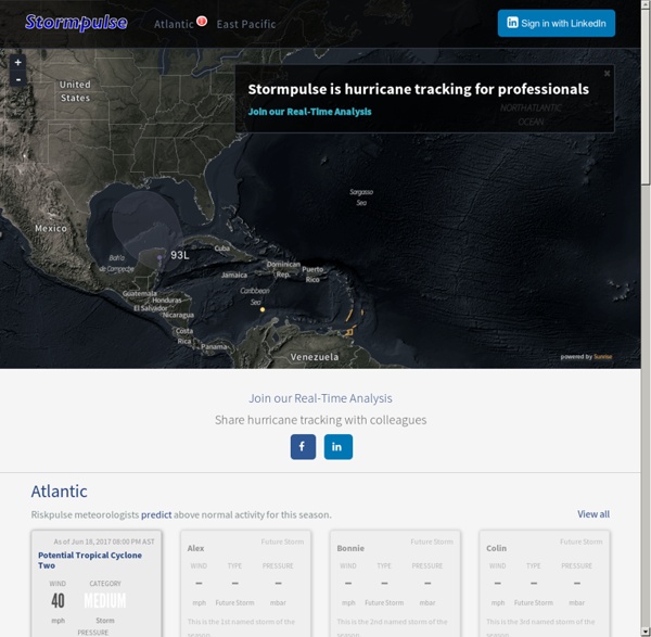
Værradar for Sør-Norge Weather radar for South Norway The map shows where precipitation (rain, sleet, snow etc) falls, the colour giving an indication of the amount. By emitting radar waves the radar registers how precipitation moves . It will then receive echoes if the waves hit precipitation particles. The animation shows precipitation during the last hours, the last picture in the sequence being the most recent. Widget : Météo sur Widgbox.com 24 Commentaires ville de marbella climat de marbella salut a tous nul Tropical Cyclone Model (Atlantic) The current position and intensity of any storm on this page does not come from the latest advisory from the National Hurricane Center (NHC) for the Atlantic and East Pacific basins or the Central Pacific Hurricane Center (CPHC) for the Central Pacific basin. For this important data you must refer to the agency responsible for issuing forecasts in the particular basin you are looking at. The current position and intensity on this page is provided to show what data the early cycle models initialized with. An invest area, noted with a number from 90 to 99, represents an area that is being watched for possible development. Refer to the tropical outlooks at the NHC and the CPHC for guidance on the possibility of development from these areas and look for the latest official advisory data if the storm is a tropical depression or higher.
Hurricane Spaghetti Models / Spaghetti Charts / Tropical Forecast / Hurricane Charts Models / Tropical Update Exact eiendomsmeglere - Ensjø Tips en venn om denne annonsen Brinken 11, 0654 Oslo Prisantydning amp; weather forecast / Wind & Wettervorhersage Bastia Description This is the wind, wave and weather forecast for Bastia Aeroport in Corsica, France. Windfinder specializes in wind, waves, tides and weather reports & forecasts for wind related sports like kitesurfing, windsurfing, surfing, sailing or paragliding. Radares Alvarado | Cancún | | Catedral | | Los Cabos | Obregón | Puerto Ángel | Palmito | Sabancuy | Altamira | Otros radares : Radar Querétaro | Radares NOAA | Radar Belice El Radar Meteorológico El sistema RADAR cuyas siglas vienen de RAdio Detection And Ranging, y que se define como "Sistema de Radiodeterminación basado en la comparación entre señales radioeléctricas reflejadas o retransmitidas desde la posición a determinar", en otras palabras, el principio de funcionamiento de un Radar es la transmisión de una determinada señal de Radiofrecuencia que incide en un objeto llamado "blanco", el cual refleja la señal en varias direcciones, una porción de esta señal "eco" es captada por un receptor, que puede ser la misma antena de transmisión, que se encarga de filtrar la señal de un cierto ruido "clutter", amplificarla y procesarla para obtener información del "blanco".
Tropical Group TC Model Generation Page Hurricane Irma Tracker ( cyclocane is a CYCLOne and hurriCANE tracker by hayley ) English Español Deutsch Français Irma Current Status Caribbean Hurricane Network - stormCARIB.com - Local Reports on Tropical Systems threatening the Caribbean Islands Interactive map: Track hurricane Irma as it rolls towards Florida As Floridians cleared supermarkets of bottled water and emptied gas pumps, people in the northeastern Caribbean were making last minute-preparations before powerful Hurricane Irma hit their islands. Late Tuesday, the massive Category 5 storm was almost upon islands like Antigua and Barbuda with near-record 185 mph sustained winds. In its 11 p.m. ET advisory, the US National Hurricane Center said the eye of the hurricane was 50 miles from the two islands. The center of the storm was moving to the west-northwest at 15 mph. The hurricane center said the extremely dangerous core of Irma would hit the northern Leeward Islands — which include Antigua and Barbuda, St.
Hurricane Irma Tracker and Storm Safety Tips - weather.com Watches and Warnings A watch means hurricane or tropical storm conditions are possible within 48 hours. A warning means those conditions are expected within 36 hours. now viewing