background preloader

Punchcard: VideoTrace » Software

Punchcard: VideoTrace » Software

Punchcard: VideoTrace » Modelling Examples VideoTrace creates low polygon count models. The number of polygons in a model relates directly to the number of polygons you draw. That means that it’s most efficient to model objects with large planar surfaces. Curved objects can easily be modelled, however, by breaking them up into segments. That’s what is going to happen in [...] One of the advantages of having the user control the modelling process in VideoTrace is that it is possible to model parts of an object which don’t actually appear in the input image set. This example shows the process of modelling a house using VideoTrace and the corresponding 3D model This clip shows more of the modelling process. This example shows the process of generating a model of an archway. and this the result of inserting the model into Google Earth The Sydney Opera House presents a number of challenges to any image-based modelling package, but the most significant is probably the fact that the ‘sails’ are complex curves with practically no texture.

Photosculpt - PhotoSculpt creates 3D models and textures from 2 photos 3D Wax Printing by Jewelry Art Studio K-3D 
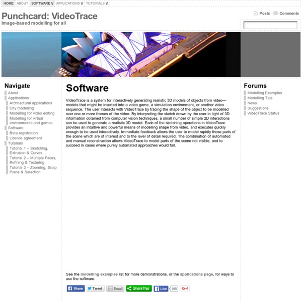
K-3D - Wikipedia, the free encyclopedia K-3D is a free 3D modelling and animation software. Despite its name it is not a KDE application; it uses the GTK+ toolkit via gtkmm.[1] It features a plug-in-oriented procedural engine for all of its content. K-3D supports polygonal modelling, and it includes basic tools for NURBS, patches, curves and animation. Snapshot of the K-3D animation and image rendering computer program. Main Features[edit] K-3D's interface uses platform's look-and-feel, and it is therefore consistent with other applications that already exist. K-3D features procedural and parametric work-flows. References[edit] External links[edit] Official wiki page

Blender 3D: Noob to Pro/Making Landscapes with heightmaps - Wikibooks, open books for an open world This tutorial will show you how to make advanced terrain such as mountains using Blender and gimp or any other image editing software. Blender has the ability to use height maps to create meshes. Height maps are black and white images with white representing the highest point and black the lowest. Creating the heightmap image[edit] Note: This entire Tutorial presumes that you are already familiar with other Editing Software, such as GIMP... and already know how to create "textures" with that software. To begin with, open your image editing software. First use the "New" menu option to create an image 1600 wide by 1200 tall. Save your image as PNG or JPEG. It should look something like this Create grid and add the image as texture[edit] Open Blender and delete the default cube. Add a grid (SPACE → Add → Mesh → Grid) with resolutions 32 and 32 from top view. Click F5 to go to the Shading panel. Before you load the image take a look at the Map Image panel. Use texture as heightmap[edit] Tips:

» “Terrain Cone” Kirk Dunne . Blog g2h 3d dem displacement map This was a another departure, one that I like to take quite often and that is to go about creating something in a way that is not the norm. In this case, I did not model this abstract piece with polygons but rather it is a image turned into a 3D mesh. There are many names for this depending on what program you are using. Nowadays, most 3D programs would call this a Displacement map. LONG ago they were called G2H (grayscale to height) and if you are using a landscape generation program (Bryce, Terragen, Vue) you might import one called a DEM (Digital Elevation Map) and the resulting mesh in said programs would probably just be referred to as a “Terrain”. To be simple, a G2H/DEM Map is a grayscale (black and white) image. When turning an image into a mesh, its simple; lighter parts of an image result in higher areas of the resulting mesh, darker parts of the image produce lower areas. I turned the images into meshes, applied various procedural shaders and rendered.

Importing Elevation Data into Bryce 6.1 Importing USGS NED and SRTM Elevation Data into Bryce 6.1 This tutorial explains how to import US and world elevation data downloaded from the USGS National Map Seamless Server into Bryce 6.1. Adobe Photoshop serves as an intermediate application for importing the data into Bryce at full 16-bit resolution. The rather involved procedure has three parts: Part I – Getting the Data 1) In your web browser, go to: 2) Use the “Zoom In” tool (the default tool in the upper left) to enlarge your area of interest on the map. 3) To the right of the map, click the “Download” tab and select the type of elevation data that you want. 4) On the left side of the map, click the “Define Rectangular Download Area” tool and draw a rectangle on the map for the area that you want to download. 5) The “National Map Seamless Server Request Summary Page” will appear after a brief wait. 6) Download the elevation data in BIL (Band Interleaved) format. Part II – Preparing the Data 5).

Nicolai Klimaszewski | Lithophanes Nicolai Klimaszewski 1. Hand-carving original art for the production of lithophanes: The best lithophanes produced in the nineteenth century were hand-carved, even those that have a photographic appearance to them. I highly recommend a wax from the Kindt-Collins Company (800-321-3170) called KC-1767-s. To make a 5x7 inch slab of wax 1/4 inch thick: 2 pieces of 8x10 inch glass, one clean, one with silicone applied. 3 pieces of 1/4 thick wood strips (balsa from a hobby store OK). 6 metal spring clamps. Arrange 3 wood strips on clean glass in a 5-7-5 U-shape. Melt some wax in a double boiler. Carry out the carving over a light source and try to ignore the somewhat unattractive surface that emerges; concentrate instead on the light-dark image being transmitted through the wax. 2. Walter D. Careful examination of a negative will always reveal some traces of surface modeling or relief. The gelatin composition is: Knox Gelatin 100 g. White Sugar 25 g. Potassium bichromate 1 g. Distilled Water 300 cc.

The shape of things to come: A consumer's guide to 3D printers CES 2013 proved to be something of a coming out party for consumer-facing 3D printers. Sure MakerBot earned a fair amount of attention at last year's show with the announcement of the Replicator, which snagged its share of awards from various press outlets. This year, however, saw a relative deluge in 3D-printing representation, with strong showings from 3D Systems, FormLabs, MakerBot and the cloud-based 3D printer, Sculpteo. Even with so many companies rising to prominence, the dream of truly mainstream 3D printing still feels a ways off -- if that is indeed where we're inevitably heading. These nascent days are an exciting time, with a diverse array of companies and organizations vying to be the first to bring the technology to our homes. Most of these work by melting plastic (largely Lego-like ABS or biodegradable PLA) and squirting it out through extruder heads. 3D Systems 3D Systems has been in the 3D-printing game since before the term was coined. Bits from Bytes Eventorbot Fab@Home

Related: