World Map
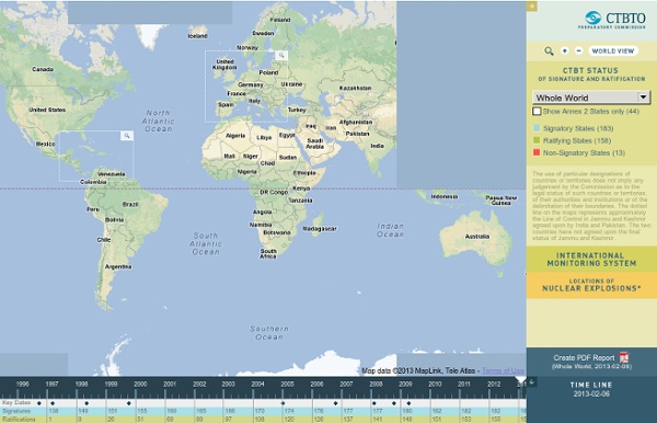
Signatory States (183) Ratifying States (162) Non-Signatory States (13) The use of particular designations of countries or territories does not imply any judgement by the Commission as to the legal status of such countries or territories, of their authorities and institutions or of the delimitation of their boundaries. The dotted line on the maps represents approximately the Line of Control in Jammu and Kashmir agreed upon by India and Pakistan. All Facilities Primary Seismic Auxiliary Seismic Infrasound Hydroacoustic Radionuclide Radionuclide with Noble Gas Radionuclide Laboratories Nuclear Weapons used in World War II, August 1945 Test Sites: The figures used in this map are approximate and based on official government sources, as well as on information provided by research institutions such as the Natural Resources Defence Council in Washington D.C., and the Stockholm International Peace Research Institute (SIPRI).
Visualizing Empires Decline | Visualization et al.
This is an experiment with soft bodies using toxi’s verlet springs in Processing. The first idea was to visualize the decline of the maritime empires. Along with that came the idea of fluid and timeless boundaries, and thus some kind of soft bodies dissolution. Those are some screenshots displaying the springs in the system. The data refers to the evolution of the top 4 maritime empires of the 19th and 20th centuries by land extension. I don’t wanna call this small experiment information visualization neither information art.
HistoricalAtlas.com: the Centennia Historical Atlas -- Europe and the Middle East 1000AD to the Present, software for Windows and Mac OSX
Related:
Related:

by salemsh Aug 29