
Importing Imagery There are three main ways you can import imagery into Google Earth: Image overlay - (Add > Image Overlay) This is an image that is draped over the surface of the earth (though it can appear elevated as well). Among other things, this feature is useful for importing image files of maps. The picture to the left is an example of an image overlay. Photo - (Add > Photo) This is an image placed in a geographic location that you and other users can fly into and navigate. You can see examples in the Layers panel > Gallery > Gigapxl. GIS imagery - (Google Earth Pro only: File > Open) These are GIS-related files, such as .tif, .geotif, .ntf, .img, etc. The larger your image files, the more performance becomes an issue.
wikiscanner How Google Earth [Really] Works Introduction After reading an article called "How Google Earth Works" on the great site HowStuffWorks.com, it became apparent that the article was more of a "how cool it is" and "here’s how to use it" than a "how Google Earth [really] works." So I thought there might be some interest, and despite some valid intellectual property concerns, here we are, explaining how at least part of Google Earth works. Anyway, the solution to discussing "How Google Earth [Really] Works" is to stick to information that has already been disclosed in various forms, especially in Google’s own patents, of which there are relatively few. For the more technically inclined, you may want to read these patents directly. 1. There are also a few more loosely related Google patents. 3. And there is this more informative technical paper from SGI (PDF) on hardware "clipmapping," which we’ll refer to later on. I’m going to stick closely to what’s been disclosed or is otherwise common technical knowledge. The Basics
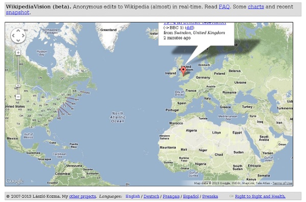
The 50 most interesting articles on Wikipedia | Copybot Deep in the bowels of the internet, I came across an exhaustive list of interesting Wikipedia articles by Ray Cadaster. It’s brilliant reading when you’re bored, so I got his permission to post the top 50 here. Bookmark it, start reading, and become that person who’s always full of fascinating stuff you never knew about. The top 50 Wikipedia articles by interestingness 1. Marree Man 2. *Copybot is not responsible for the hours and hours that disappeared while you were exploring this list. Edit: If you enjoyed this list, I’ve since posted 50 more of Wikipedia’s most interesting articles. Like this: Like Loading... Related Picking flicks About six months ago, it dawned on me that whenever someone asked me if I'd seen a particular film, my answer was almost invariably no. In "Copybot articles"
Mapnik C++/Python GIS Toolkit | Welcome Wikibooks Chris Harrison - GPS Project This page describes the steps I went through in my project to connect a Garmin eTrex Summit GPS device to a Nikon D200 camera body in order to record location information in the EXIF data of images captured using the setup. While this procedure worked fine for me, I do not take any responsibility for you or your equipment should you try this yourself. All images can be found in the "Equipment" photoset on my flickr account, here. A parts list in PDF format can be downloaded here. There are seven steps: Step 1 - The circuit diagram and initial circuit layout Step 2 - Soldering the components and jumpers to the breadboard Step 3 - Constructing the box to house the GPS Step 4 - Second stage of soldering, fixing camera and GPS cables, and fitting remote release socket Step 5 - Making the false floor to support the GPS and protect the circuitry and components Step 6 - Painting/finishing Step 7 - Constructing new Garmin to PC cable and downgrading GPS firmware
Freaky Wikipedia Entries Cool Tool: GPS & Google Earth Solution I have been doing a lot of exploring and surveying in the desert recently, and have been trying to find the right GPS mapping solution. The solution I found incorporated stuff I already had (laptop and GPS) with the help of some excellent, nearly free software. The best part is that it works even better than the $900 in-car GPS solutions as it uses always up-to-date satellite data, and is easily sharable. Basically you run Google Earth and use some great donation-ware to link it in real time to a GPS. This means that your mapping software and maps worldwide are not only free, but you also get hi-res satellite views and in some cases 3D buildings (in downtown areas). Only a year or so ago this would have cost tens of thousands of dollars in proprietary GPS mapping gear; it would be difficult to share it once done; each map and satellite shot would cost extra; and it would have been an ordeal to get it all loaded up and working properly for each area you wanted to go. – Alexander Rose
Google Earth Lessons Lesson Organization: Google Earth How To's - Learn how to do the basics so you are comfortable teaching with Google Earth Student Controlled - Where the student controls Google Earth. Suitable for labs, mini-labs, home school, etc. Teacher Controlled - Suitable for Lectures, Presentations, whole class discussions, etc. Mini-Lessons - Lesson starters for looking at various topics Icon Legend Found or developed a Lesson that uses Google Earth? Google Earth How-to's: -Google Earth 101 A complete on-line course for teachers created by Quentin DSouza. The following series of video lessons were developed by Richard Treves at www.kokae.com NOTES: Please note Copyright Restrictions within demos. - Flying with Google Earth -Examines the controls used to get around in Google Earth - Using Placemarks - Looks at what a placemark is and how they can be used - GE Tips - General tips on using Google Earth - Overlays - Shows how to lay pictures over the ground in Google Earth (30Mb) Student Controlled Lessons
RDoc Documentation Orientation Aware Camera I started this project without really having any idea where it would end up. I started off by deciding it could be interesting to build a device that would sample a 3-axis magnetometer and a 3-axis accelerometer and send that data to my computer via USB. Devices very much like that are often sold as a 'tilt compensated compass', and go for $250-500. I happen to live in the same town as my new favorite hobby electronics site, SparkFun, so I ordered the accelerometer and magnetometer from them, and I was able to pick them up in person a couple days later. Well, not quite. With that problem solved, I worked out a layout to connect everything together on a bit of protoboard I bought, soldered everything together, wrote some code to have the U421 sample the sensors, and plugged it in to test.. and it worked! (If you're wondering, that box is a Hammond Manufacturing 1455 series enclosure. However, I soon found it only worked for a few seconds at a time. Here's the finished layout.
PC World - 10 Amazing Google Earth Add-Ons Google Earth puts an entire planet's worth of useful, relevant, and just plain weird content at your fingertips. As you saw in "The Strangest Sights in Google Earth," some things in this world are simply out of this world. To find such wonderful sights, you can call on a large library of Earth add-ons. As authors of the Web site Google Sightseeing, we see a lot of these add-ons and collections. What follows is a list of 10 of our favorites. Note that some of the links go straight to .kml or .kmz files, which Google Earth can read.
DIY GPS Hacking Projects | Hack N Mod - Amazingly Cool Hacks, Mo Global Positioning Systems are outstanding devices that have thousands of applications (especially for hacking). We’ve found the web’s best GPS tutorials and projects and gathered them all up just for you. GPS Projects, Resources, and Tutorials: Bluetooth enable your GPS DeviceUse your GPS for GeoCaching (aka: Like treasure hunting).Everything you’ll ever need to know about GPS. Bargains on GPS Modules can be found on eBay.