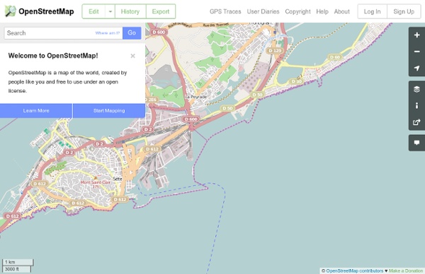
background preloader

OpenStreetMap

OpenStreetMap

40 more maps that explain the world Maps seemed to be everywhere in 2013, a trend I like to think we encouraged along with August's 40 maps that explain the world. Maps can be a remarkably powerful tool for understanding the world and how it works, but they show only what you ask them to. You might consider this, then, a collection of maps meant to inspire your inner map nerd. I've searched far and wide for maps that can reveal and surprise and inform in ways that the daily headlines might not, with a careful eye for sourcing and detail. 1. Data source: Oak Ridge National Laboratory, World Bank. Those dots represent people: the brighter the dot, the more people. 2. Click to enlarge. Human beings first left Africa about 60,000 years ago in a series of waves that peopled the globe. 3. (Wikimedia commons) The Mongol conquests are difficult to fathom. 4. Click to enlarge. This map shows the Spanish and Portuguese empires at their height. 5. This map shows British, Dutch and Spanish shipping routes from 1750 to 1800. 6. 7. 8.

Building a business on OpenStreetMap data? OpenCage Data wants to make that easier OpenStreetMap is a fascinating phenomenon. The eight-year-old crowdsourced geodata project is powering mapping apps (Skobbler and, in places, Apple Maps), recommendation tools (Foursquare), sports watches (Leikr), classifieds (Craiglist) and property search engines (Nestoria). However, given that OpenStreetMap data is both free to use and impressively detailed, how come even more businesses aren’t using its data? That’s the question Lokku, the London-based company behind Nestoria, asked itself when it switched from the Google Maps API to OpenStreetMap a couple of years back. “The data is freely available but it’s quite technically complex. Complexity = opportunity So Lokku decided to try lowering the technical hurdles associated with OpenStreetMap by creating a service called OpenCage Data. This makes OpenCage Data a rival to commercial data suppliers such as TeleAtlas, rather than to Google Maps. Ecosystem boost

Library of Congress Maps Collections The Library of Congress Search by Keyword | Browse by Geographic Location Index | Subject Index | Creator Index | Title Index The Geography and Map Division of the Library of Congress holds more than 4.5 million items, of which Map Collections represents only a small fraction, those that have been converted to digital form. The focus of Map Collections is Americana and Cartographic Treasures of the Library of Congress. Map Collections is organized according to seven major categories. Searching Map Collections The mission of the Library of Congress is to make its resources available and useful to Congress and the American people and to sustain and preserve a universal collection of knowledge and creativity for future generations. The Library of Congress presents these documents as part of the record of the past. Special Presentations: Places in History Places in the News Meeting of Frontiers: Collections from the Library of Congress: Maps

Korben « Upgrade your mind Korben Accuracy See also: Quality assurance Accuracy of a map is as important as completeness. This page discusses sources of error, and how correcting other peoples errors based on one source of data can be a problem. Refining accuracy wiki-style OpenStreetMap is still in the process of building basic map coverage in many areas. The degree of accuracy that is reasonable depends on the existing data. In areas where there is no coverage, even an inaccurate tracing of a road you know is there without GPS or other sources is an improvement. The more dense areas of our map tend to be those where many users have refined the data over time, in these areas you should probably be a bit more cautious when adding new data. See also Question:What is the minimal expected accuracy of maps? Position accuracy GPS is one of the major sources for openstreetmap. When correcting or editing map data, you don't know if the GPS traces you have downloaded are particularly accurate. Systematic errors Example Click to zoom-in. Topology

Map collection Skip to Content Libraries Home | Mobile | My Account | Renew Items | Sitemap | Help | University of Texas Libraries Home > Finding Information > PCL Map Collection > Country and Regional Map Sites Maps Maps FAQ Map Room Guide World Africa Americas Asia Australia/Pacific Europe Middle East Polar/Oceans Russia/Republics Texas Historical Thematic Topographic Other Map Sites Map Sites Map Dealers Cartographic Reference City Map Sites Country Map Sites Historical Map Sites Outline Map Sites Route Planning Sites State Map Sites Topical Map Sites Weather Map Sites Perry-Castañeda Library Map Collection Country and Regional Map Sites Click on letter to select a country, continent, region, ocean or sea: U.S. The following are links to maps of continents, countries, territories, regions, oceans and seas.

La Bretagne aura ses premiers domaines en .BZH en juin Le régionalisme s'installe dans l'architecture du web. A l'instar de Paris qui avait obtenu son extension .PARIS, la région Bretagne faisait partie des candidats retenus en mai 2013 par l'ICANN pour la création de nouvelles extensions de noms de domaine. C'est désormais une certitude. Un accord a été signé vendredi entre l'ICANN et l'association www.bzh, qui aura en charge la gestion du registre .BZH, en lien avec l'AFNIC qui gère les domaines français. "La signature de ce contrat est un moment fort en émotion pour tous les membres de l’association qui œuvrent depuis des années à l’arrivée du .bzh. Les premiers noms de domaine en .BZH (qui signifie bien sûr "Breizh", qui veut dire Bretagne en breton), seront accessibles à partir de la fin du mois de juin, après une période obligatoire de quatre mois de tests techniques entre la signature du contrat et l'activation du .bzh dans les serveurs DNS racine. Réservé à la Bretagne... y compris Nantes

Ch:current coverage Current OSM coverage in Switzerland What has been done in Switzerland and what still need to be mapped ? The length of some highways and railway features has been calculated and compared to two vector dataset from swisstopo: vector25 and vector200. All lengths are in kilometers. Percentages are rounded to the next five percent. highway railway natural History Here some nice History images. Switzerland West Switzerland East Region Basel OSM - GWR Street and Place Names Comparision This site shows a comparison of named features in OSM to a list generated by the Federal Statistical Office from the Eidg. Gebäude- und Wohnungsregister (GWR). The GWR contains information on all houses and apartments in Switzerland and is updated regularly. By definition OSM will typically contain more named features than the GWR list, however it is fair to say that the GWR will contain essentially all inhabited places that you would want to navigate to, georeference or similar. Please visit the OSM wiki page for more information. I've changed some of the logic how the numbers are calculated with the move to a new machine and the latest update of the GWR list from December 2013, numbers calculated with the old logic can be found here: Old Street Name Stats Overall Roads only

Related: