background preloader

Data center

Data center
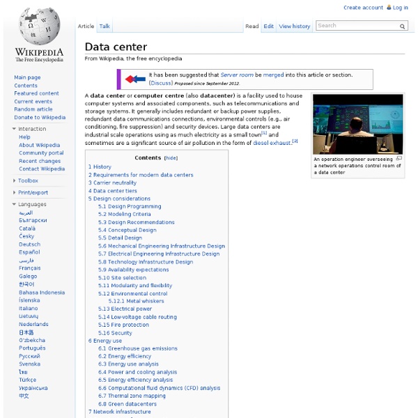
An operation engineer overseeing a network operations control room of a data center A data center is a facility used to house computer systems and associated components, such as telecommunications and storage systems. It generally includes redundant or backup power supplies, redundant data communications connections, environmental controls (e.g., air conditioning, fire suppression) and various security devices. Large data centers are industrial scale operations using as much electricity as a small town[1] and sometimes are a significant source of air pollution in the form of diesel exhaust.[2] History[edit] Data centers have their roots in the huge computer rooms of the early ages of the computing industry. The boom of data centers came during the dot-com bubble. With an increase in the uptake of cloud computing, business and government organizations are scrutinizing data centers to a higher degree in areas such as security, availability, environmental impact and adherence to standards.

Big data Visualization of daily Wikipedia edits created by IBM. At multiple terabytes in size, the text and images of Wikipedia are an example of big data. Growth of and Digitization of Global Information Storage Capacity Source Big data is a broad term for data sets so large or complex that traditional data processing applications are inadequate. Analysis of data sets can find new correlations, to "spot business trends, prevent diseases, combat crime and so on Work with big data is necessarily uncommon; most analysis is of "PC size" data, on a desktop PC or notebook[11] that can handle the available data set. Relational database management systems and desktop statistics and visualization packages often have difficulty handling big data. Definition[edit] If Gartner’s definition (the 3Vs) is still widely used, the growing maturity of the concept fosters a more sound difference between big data and Business Intelligence, regarding data and their use:[20] Characteristics[edit] Architecture[edit]

Server Management Suite : Suite d’administration de serveurs de la gamme System Center Fonctionnalités Configuration de l'infrastructure System Center permet de gérer les environnements virtuels et de cloud, avec prise en charge intégrale des fonctionnalités Windows Server, telles que les performances et l'évolutivité du produit de pointe Hyper-V, ainsi que la prise en charge de VMware vSphere et Citrix XenServer. Il assure aussi une solide prise en charge des environnements Linux, avec support intégral de la mémoire dynamique. Comme System Center autorise la connexion des machines virtuelles à un réseau SAN Fibre Channel, vous pouvez virtualiser les charges de travail les plus exigeantes et les connecter à vos plateformes de stockage du plus haut niveau. En savoir plus Surveillance de l'infrastructure System Center offre la meilleure surveillance de Windows Server et une prise en charge robuste de la surveillance multiplateforme (dont RHEL/SUSE Linux, Oracle Solaris, HP-UX et IBM AIX). En savoir plus Automatisation et libre-service En savoir plus En savoir plus En savoir plus

2600: The Hacker Quarterly Système d'information de santé - Infine Conseil : Missions Etude d'Opportunité Systèmes d'information de santé Conseil - Assistance ObjectifsL'étude d'opportunité permet d'apprécier si un projet mérite d'être réalisé et dans quels délais. L'objectif de l'étude d'opportunité est d'aboutir à une décision quant au lancement effectif du projet, ceci sur la base de recommandations émises par le consultant chargé de l'étude. L'étude d'opportunité peut concerner le domaine informatique directement (élaboration d'un SDSI, conception d'un SI, lancement d'un appel d'offre, mise en place d'un progiciel, acquisition de matériel), mais également tout projet porté par des acteurs liés au Système d'Information de Santé. Analyser tout ou partie d'une organisation ou d'un sous-ensemble lié au système d'information ou à l'informatiqueEtablir un constat sur la base des points forts, des points faibles, des opportunitésDégager des recommandations d'amélioration (i) Les domainesUne opération d'élaboration de SDSI : faut-il lancer une SDSI, une étude d'organisation, un audit ?

.:: Phrack Magazine ::. Thingiverse - Digital Designs for Physical Objects List of Linux distributions List of software distributions using the Linux kernel This page provides general information about notable Linux distributions in the form of a categorized list. Distributions are organized into sections by the major distribution or package management system they are based on. Debian-based[edit] Ubuntu-based[edit] Ubuntu is a distribution based on Debian, designed to have regular releases, a consistent user experience and commercial support on both desktops and servers.[4] Current official derivatives[edit] These Ubuntu variants, also known as Ubuntu flavours, simply install a set of packages different from the original Ubuntu, but since they draw additional packages and updates from the same repositories as Ubuntu, all of the same software is available for each of them.[5][6] Discontinued official derivatives[edit] Unofficial derivatives[edit] Unofficial variants and derivatives are not controlled or guided by Canonical Ltd. and generally have different goals in mind. Knoppix-based[edit]

3D scanner 3D scanner used to create the 3D animation A 3D scanner is a device that analyzes a real-world object or environment to collect data on its shape and possibly its appearance (i.e. color). The collected data can then be used to construct digital three-dimensional models. Many different technologies can be used to build these 3D-scanning devices; each technology comes with its own limitations, advantages and costs. Collected 3D data is useful for a wide variety of applications. Functionality[edit] The purpose of a 3D scanner is usually to create a point cloud of geometric samples on the surface of the subject. 3D scanners share several traits with cameras. For most situations, a single scan will not produce a complete model of the subject. Technology[edit] There are a variety of technologies for digitally acquiring the shape of a 3D object. Contact[edit] A coordinate measuring machine with rigid perpendicular arms. The scanner mechanism may have three different forms: Non-contact active[edit] .

List of wireless community networks by region Some wireless community network projects are: Community networks by region [ edit ] Africa [ edit ] Ghana [ edit ] Wireless Ghana — South Africa [ edit ] See also South African wireless community networks Wireless User Group South Africa — Johannesburg Area Wireless User Group — Cape Town Wireless User Group — Durban, South Africa. Zambia [ edit ] LinkNet , Macha, Zambia — Linknet Linknet Wiki Site Asia [ edit ] India [ edit ] AirJaldi Community Wireless Mesh Network, Dharamsala, H.P. — airjaldi.com Indonesia [ edit ] Batam Wireless Internet Community (BWIC) , Batam Island, Kepulauan Riau — bwic.blogspot.com/ Nepal [ edit ] Nepal Wireless Networking Project — nepalwireless.net Australia & Oceania [ edit ] ACT, Australia [ edit ] Canberra Wireless Network — New South Wales, Australia [ edit ] Northern Territory, Australia [ edit ] Queensland, Australia [ edit ] South Australia [ edit ]

Susitna Hydroelectric Project The Susitna Hydroelectric Project (commonly called the Susitna Dam) is a proposed hydroelectric power project along the Susitna River in southern Alaska. The project, which originally consisted of two dams along the river, was proposed as early as the 1960s by the U.S. Bureau of Reclamation to supply electricity to the railbelt region of Alaska (areas served by the Alaska Railroad), including the cities of Anchorage and Fairbanks. At the time, it was known as the Devil's Canyon Dam, for its location just upstream of Devils Canyon, a 1,000-foot (300 m)-deep gorge and whitewater rapids formed by the Susitna River. When oil prices and state revenue (based on taxes levied on oil extraction) declined, the plan was put on hold. The Susitna Hydroelectric project, to be built by the Alaska Energy Authority, is projected to cost $5.2 billion. The Susitna river, which drains into the Cook Inlet, is a major salmon spawning ground. Notes[edit] External links[edit]

Project Loon Project Loon is a research and development project being developed by Google with the mission of providing Internet access to rural and remote areas. The project uses high-altitude balloons placed in the stratosphere at an altitude of about 20 mi (32 km) to create an aerial wireless network with up to 3G-like speeds.[1][2][3][4] Because of the project's seemingly outlandish mission goals, Google dubbed it "Project Loon".[5] History[edit] In 2008, Google had considered contracting with or acquiring Space Data Corp., a company that sends balloons carrying small base stations about 20 miles (32 km) up in the air for providing connectivity to truckers and oil companies in the southern United States, but didn't do so.[7] Technology[edit] The technology designed in the project could allow countries to avoid using expensive fiber cable that would have to be installed underground to allow users to connect to the Internet. Equipment[edit] A Project Loon research balloon Reception[edit] See also[edit]

Related: