background preloader

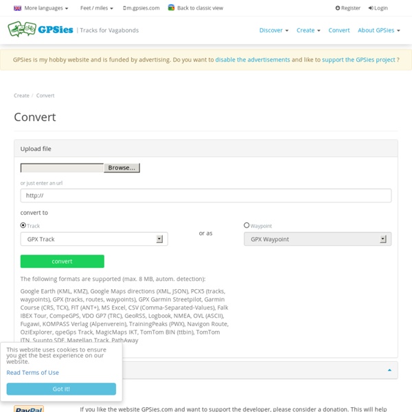
GPSies Convert

GPSies Convert

GPS Visualizer Anglais Hollandais Français Allemand Italien Norvégien Portugais Espagnol GPSBabel est un gratuiciel qui convertit les formats de fichiers GPS. NOTE: Pour de nombreux formats d'entrée, tels que GPX, OziExplorer, Geocaching.com LOC, Garmin Forerunner, Cetus GPS, IGC, et d'autres (incluant également ceux que GPSBabel ne connaît pas, comme les fichiers binaires de NetStumbler), vous pouvez aussi convertir vos fichiers GPS en format texte, GPX, ou KML (Google Earth) avec l'utilitaire de conversion de . Traduction française par Lilian Morinon. Retourner à la page d'accueil GPS Visualizer

Natation pour tous : vidéos, cours et entraînements Garmin Fit Repair Tool Convert OSM files to IMG files If you are a user of openstreetmap.org, then you may have already realized the power of being able to download free maps from their website. If you have the apporpriate software, you can even take these free maps, and import them into your Garmin GPS! OSM to IMG The map file that is exported from open street map is in osmarender format (OSM). Donation Ware The OSMtoIMG software is available for Free. Download Now! Supported OSs: Mavericks (10.9)Mountain Lion (10.8)Lion (10.7)Snow Leopard (10.6)Leopard (10.5)Tiger (10.4) OSM to IMG The OSMtoIMG program is compatible with Mac OS X.

Akoah - Sports Aquatiques Equipement pour les Sports Aquatiques en Natation, Sauvetage, Aquagym RunningAHEAD - Free online running log, training plans and running forum RouteConverter RouteConverter est un outil GPS gratuit et convivial pour afficher, éditer, enrichir et convertir des routes, des traces et des points. Il m'aide à planifier des parcours et consolider des traces et j'espère qu'il pourrait vous aider. La dernière version, la v2.12 du 4 avril 2014, offre un ensemble de nouvelles fonctions et améliorations. Le résumé essaye de montrer visuellement les points essentiels de RouteConverter tandis que la section des fonctions vise à décrire toutes les caractéristiques en détail. Si vous aimez RouteConverter envisagez s'il vous plaît de faire don ou aider le nouveau développement. Voici à quoi ressemble RouteConverter:

Articles et matériel de plongée et de natation - Bubble Diving, spécialiste de la plongée technique Mobile Walking, Running, Cycle Route Planner - plotaroute.com gmap-pedometer.com Creating a Movie in Google Earth Would you like to create a video showing the terrain you traversed during a recent hike? Here's how. 1. I use my android phone to record my tracks, using the excellent app Oruxmaps. I suggest that as you record your track you also create occasional waypoints on your GPS. I typically start recording my track at the trailhead, and stop recording at the end of the hike when I'm back at the trailhead. 2. I use the free Windows program GPSBabel for this. Note the option points=0. 3. I use the free program GpsPrune to do this. Remove extraneous points at the start and end of the hike. Using GpsPrune to simplify your track GpsPrune, freely available here, is very easy to use. After starting GpsPrune chose File Open and load your track file in GPX or KML format. The blue line above shows your track. The numbered red circles above show 1. In our example we are showing the hike from the Wirepass trailhead to The Wave. Here is the result of selecting deleting the point between the Wave and Page: 4.

Related: