background preloader

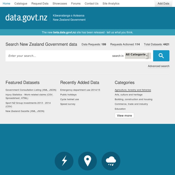
New Zealand : Données publiques / Open Data

New Zealand : Données publiques / Open Data

Pays Bas : Données publiques / Open Data StatCentral.ie - The Portal to Ireland&#039;s Official Statistics Home | Canterbury Maps OpenData Portal Canterbury Maps Singapour : Données publiques / Open Data Open Government Data Unfair business practices supported by government secrecy new report warns Open Government Partnership countries score badly on promoting corporate transparency {*style:<i> London/Brasilia, 17 April 2012 - </i>*} Private corporations around the world are benefitting from undue levels of secrecy around company registers making it impossible for the public to know how businesses are structured and who really owns them, according to a new report released today by the organisation OpenCorporates . OpenCorporates’ report, “ ” finds that of 55 countries surveyed, the average score for public access to the company register is just 21 out of 100 points. The United States scored badly with just 33 points and several of the world’s most important economies scored 0 points – notably Spain, Greece and Brazil. Read more...

Online maps Online maps Northland LocalMaps is a suite of user-friendly maps designed to provide fast access to mapping information such as property, environmental, planning and hazards. The maps are designed to be viewed on smartphones or tablets as well as laptops and PCs. Each map has been preconfigured with specific information such as property, environmental, planning and hazard information. Shortcuts to our most popular maps are below, or you can Browse our LocalMaps Gallery Read the Online Maps Terms of Use Download our data If you have your own mapping software, you can download our data for free through our download services: Koordinates – for planning data such as regional policy statement, coastal plan, water and soil plan layers and flood hazards. OpenData Portal – for regulatory data such as resource consents, land use consents and grant applications. All data unless specifically stated is licensed under a Creative Commons Attribution 3.0 New Zealand License Aerial Photography Popular maps

GIS sources GIS data is increasingly becoming freely available for consumption or download via the internet. While UC Geography tries to maintain copies of NZ GIS data (see 'Local GIS Data Holdings' below), the latest data may increasingly be obtained from the source provider, as follows: Geodata.govt.nz > New Zealand's catalogue of publicly-funded geospatial data. Land Information New Zealand (LINZ) > Choose a map lets you download 1:250,000 (Topo250) in raster TIFF and GeoTIFF formats, or 1:50,000 (Topo50) in raster TIFF and GeoTIFF formats, and vector Shape and LSIFF formats. Landcare Research Land Resource Information System (LRIS) Portal GIS data layers are available for free download in shapefile format. National Institute of Water & Atmospheric Research (NIWA) NZ Bathymetry This dataset provides the most up-to-date bathymetry of one of the largest areas of deep-water seabed under national jurisdiction.

Hong kong : Données publiques / Open Data is a portal to facilitate the wider dissemination of Public Sector Information (PSI) for value-added re-use. We believe that PSI is not only a valuable source of reference, but may also generate valuable applications. Facilitating value-added re-use of PSI will be conducive to the development of Hong Kong as a knowledge-based economy. To this end, the Government launched on 31 March 2011 an 18-month pilot scheme (i.e. from 31 March 2011 to 30 September 2012) to make available via geo-referenced public facility data and real-time traffic data for free download and value-added re-use by the public. The geo-referenced public facility data include names, addresses and co-ordinates, etc. of public facilities such as government offices, hospitals, schools, country parks as well as recreational, cultural and sports venues. All these data are freely downloadable and re-usable during pilot scheme and some are in the XML format for convenient data transfer and processing by computers.

FlowingData | Visualization and Statistics signs and markings Part 9 Level crossings, is part of a suite of guidelines within the Traffic control devices manual (TCD Manual) prepared by the NZ Transport Agency (NZTA). Part 9 Level crossings is intended to provide best practice guidance on the use of traffic control devices related to level crossings to both road and... This is the standard reference for all temporary traffic management on state highways and local roads. It includes levels of temporary traffic management, signs and forms used, and a series of sample traffic management plans. The policy and location requirements for road markings, delineators and hazard markers, which must be used in conjunction with MOTSAM Part 1: traffic signs. Its use is mandatory on state highways and it is recommended that other road controlling authorities also use it on their roads, to ensure consistent road marking and delineation nationally. The policy and location requirements for traffic signs, which must be used in conjunction with MOTSAM Part 2: Markings.

USA : Données publiques / Open Data Pretty vacant: What we're not seeing in graphics today - 15 December 2014 Read full article Continue reading page |1|2 Book information Knowledge is Beautiful by David McCandless Published by: William Collins Price: £25 Book information The Best American Infographics 2014 by Gareth Cook/introduction, Nate Silver Published by: Houghton Mifflin Harcourt Price: $20 Book information London: The Information Capital: 100 maps and graphics that will change how you view the city by James Cheshire and Oliver Uberti Published by: Particular Books/Penguin Price: £25 Book information Cosmigraphics: Picturing space through time by Michael Benson Published by: Abrams Price: $50/£30 A 1970s geological view of the moon (Image: Courtesy USGS/NASA; map by David Scott, John McCauley and Mareta West) From explaining force-feeding at Guantanamo to rents in London, it takes storytellers and critical minds to make good infographics, as four new books show FEW words are more important today than "data", from the Latin for "that which is given". Everything is greatly simplified.

Human Transit

Related: