background preloader

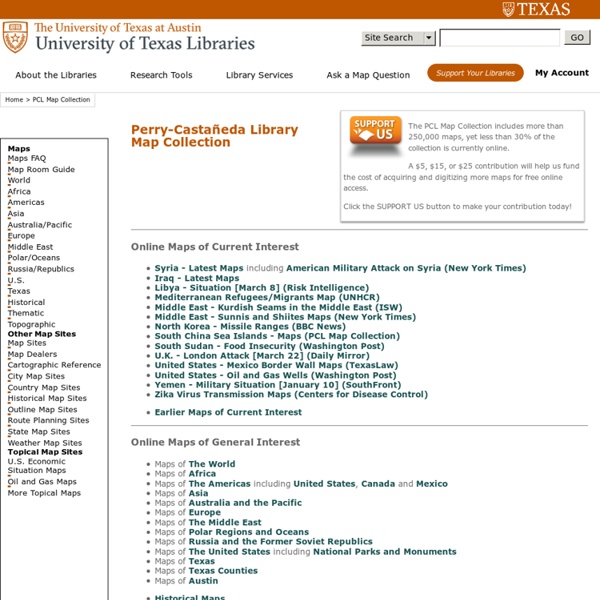
Perry-Castañeda Library Map Collection - UT Library Online

Perry-Castañeda Library Map Collection - UT Library Online

Maps - National Geographic Walk through the Continents - Print Maps Large and Small - Free Print free maps large or small; from 1 page to almost 7 feet across; PC or Mac. For classroom and student use. MegaMaps requires Adobe Flash. Free online software—no downloading or installation. Print out maps in a variety of sizes, from a single sheet of paper to a map almost 7 feet across, using an ordinary printer. Walk Through The Continents Trace car trips; where grandparents and aunts and uncles and cousins live; the Oregon Trail and the Cumberland Gap; Huck Finn's journey; the Rocky Mountains, the Appalachians, the Mississippi River, the Columbia River and the Colorado, label states… There are any number of ways to use these maps. • Print out a multi-page map of the US or the world, and have groups of students assemble it together, like a puzzle. By coloring and writing on the map, students make it “their own”. MegaMaps Map Sizes: As the maps all have different proportions, these are the maximum sizes.

Cartographie, cartes vectorielles, fonds de cartes - InterCarto FIRP Home is a free, high quality, professionally published, in-depth index of close to 4,000 collections of personal narratives in English from around the world. It lets you keyword search more than 700,000 pages of full-text by more than 18,000 individuals from all walks of life. It also contains pointers to some 4,300 audio and video files and 30,000 bibliographic records. The index contains approximately 20,500 months of diary entries, 63,000 letter entries, and 17,000 oral history entries. Approximately 25% of the index points to materials that are in copyright. To describe the database purely in terms of numbers misses the wonder of the stories and individuals that the index points to. Please let us know about collections we're missing! Please e-mail any comments you have to Editor@AlexanderStreet.com .

Map Collection - World Sites Atlas World Atlas A physical and a political map of the world, divided into tiles for easy navigation. Maps of Continents and Regions Select a continent or region below to jump to its map. From there, click on a country name to get maps, hotels, and information.Here is a complete list of links. Maps of Countries and Territories Use the drop-down list below to jump to map for that country or territory (a few do not have maps yet).Click here for a complete list of country maps. Maps of U.S. Use the drop-down list below to jump to the map page for that state or province.Here is a list of all the state and province map pages. Maps of U.S. We have over 20,000 pages for U.S. cities and towns. Thematic World Maps Select a statistic below to go to its interactive world map.Here is a complete list of links.

U.S. and World Maps and Puzzles - Free Maps That Teach US Geography Mega Quiz 1100 varied and interesting questions about the United States. The questions encourage the player to think and make connections using a map. Printable U.S. Maps of all of the 50 U.S. states, labeled and unlabeled, for classroom and student use. Online Atlas Maps of the countries of every continent and of every continent. Print Free Maps Large or Small Free online software to print outline maps - one page to 7 feet wide. Megamaps - free maps large and small Great for classroom maps. Maps by Place: World: Print World Maps Online Atlas Continents and Regions Maps Continents Map Puzzle World Features Map Puzzle World Monuments Map Puzzle Europe: Online Map of Europe Online Atlas Maps of the Countries of Europe Europe Map Puzzle Print Maps of Europe and European Countries United States: Online Atlas maps of the United States Make Your Own USA Online Map of the United States Printable U.S. Asia: Africa: North America: Central America and the Caribbean: South America: Mexico:

Internet History Sourcebooks Project Various course websites which reflect the use of IHSP documents. Western Civilisation Courses Core I: Western Civilisation to 1715 A website created for my 2004 course at UNF. This includes lecture/class outlines [Archived Version] Core II: Western Civilisation since 1715 A website created for my 2004 course at UNF. This includes lecture/class outlines [Archived Version] Modern History Course: The West: Enlightenment to Presents A page created for my Fall 1998 Modern History survey course at Fordham University, The West: From the Enlightenment to the Present. European History and Historians I A website created for my 2004 course training graduate students how to teach introductory history courses. European History and Historians II A website created for my 2004 course training graduate students how to teach introductory history courses. Medieval History Courses Medieval Europe A website created for my 2004 course on Medieval Europe at UNF. World History Courses Themed Courses

The National Map: Small Scale The National Map is now offering a collection of small-scale datasets that can be downloaded for free. Although the 1997-2014 Edition of the National Atlas of the United States was retired in September 2014, The National Map recognizes the importance of continuing to make a collection of the small-scale datasets, originally developed for the National Atlas, available to users. Small-scale maps have an advantage over large-scale maps when there is a need to show a large area in a single view. This makes small-scale maps an ideal solution for scientists, decision-makers, and planners needing to provide a geographical context for the research projects. Generally, certain geographical and feature details found in large-scale maps are limited or omitted in small-scale maps. The choice of small-scale maps always comes down to the intended use of the final map. The National Map collection of 197 small-scale datasets can be downloaded at small-scale data download page .

BVMM - Bibliothèque Virtuelle des Manuscrits Médiévaux TIGER Map Service Removal The 1990 TIGER Map Service was retired in May 2010. In 2012 the Census Bureau released TIGERweb, a web mapping and streaming services application. Please update your bookmarks to Please see the following websites for more current information: TIGERweb — TIGER Reference Map viewer with data from Census 2000, the 2010 Census, and more current geography. Web Mapping Services (WMS) are also available to incorporate TIGERweb into your application. The American University of Paris | History A critical understanding of the past cultivates the appreciation of its relevance to the present—and to the construction of the future. There’s no better place to delve into this rich exploration than Paris, one of Europe’s most vibrant and historic cities. Paris as a partner The history of Paris spans over 2,000 years and the markers of this incredible past are still visible today. From its sweeping monuments to world-famous museums, Paris dazzles with its rich historical offerings. For this reason, our department considers Paris its most essential partner. An interdisciplinary crossroads Because history is much more than simple dates and facts—but rather a way to understand the full human experience—our department draws strength from the disciplines of History, Law and Philosophy. Exciting majors and minors Our majors let you choose between a focus on History, Law, Society and Philosophy. Get in touch

cartes anciennes disponibles ! by zespiole Sep 1

Related: