
Itálica Romana Pompeii: The First Navigation Map | Pompeii Bibliography and Mapping Project The PBMP’s first full map for navigation is now online. You can start to explore Pompeii in the map embedded below, or go to the full site for more space and options. If you want to customize the map or make a presentation from it, sign in to / sign up for your ArcGIS Online account and save a copy to your own webspace. The link is at the upper right of the embedded map page. [Click here to download the files as a map package or as Shapefiles (with minor improvements from online version) or as an illustrator file of just the architecture]. The “Pompeii: Navigation Map” is essentially a set of nested tiles that change the display of the city as one zooms in and out to change the scale of the map. Users may find the information in the following files to be of interest: Data-Rich Layers Elevations Points: This layer is turned off by default and set to not appear until the view scale reached 1:2500. Eschebach ALL: (West & East). Display Layers
Guide touristique de Pompei Pompei On entendait les gémissements des femmes, les vagissements des bébés, les cris des hommes ; les uns cherchaient de la voix leur père et leur mère, les autres leurs enfants, les autres leurs femmes, tâchaient de les reconnaître à la voix. Certains déploraient leur malheur à eux, d'autres celui des leurs. Le site de Pompéi était idéalement installé dans une vallée fertile, le long du Sarno navigable et proche de la mer. Visite Pompei La catastrophe qui a détruit en quelques heures tout une ville et qui a tué plusieurs milliers de personnes est bien entendu un drame humain. Bonne visite... Pompéi - Inscriptions et graffitis Noctes Gallicanae CIL 4, 9143, Reg 3 ins 04 Salut aux Pompéiens, où qu'ils soient ! Introduction Directeur des fouilles de 1860 à 1875, Giuseppe Fiorelli a imaginé de diviser Pompéi en « arrondissements » ou « régions » (en latin regio), chaque arrondissement se divisant en îlots (insula) délimités par quatre rues, chaque maison (aedes) de l’îlot recevant un numéro ; ainsi la maison des Vettii se trouve dans le VIe arrondissement, îlot 15, numéro 1, ce qui se note en abrégé VI, 15, 1, ou Reg. VI, ins. 15, aed. 1. L’abréviation CIL 4 (ou CIL 4, il faut que je mette de l’ordre dans mes références !) Il est d’usage lorsqu’on recopie une inscription antique de signaler les passages à la ligne par un trait vertical ; je devrais écrire M MariVm | aed faci | oro vos mais je trouve plus esthétique de respecter dans ma typographie les passages à la ligne. M MariVm aed faci oro vos L’abréviation Anth. L’abréviation AE suivie d’un millésime renvoie à la revue l’Année épigraphique. © Alain Canu
Saving the Villa of the Mysteries (Pasquale Sorrentino) The stunning frescoes of the Villa of the Mysteries include one room with a painted frieze widely considered to depict an initiation rite into the cult of Dionysus, the god of wine, pictured at the center of this panel. The moment the Villa of the Mysteries was discovered in spring 1909, it was at risk. For more than a century, there have been many efforts, some successful, some less so, to conserve the villa’s walls, floors, and frescoes. To study the top layers of the frescoed walls without damaging them, conservators take ultrasonic surface measurements in one of the villa’s painted corridors. Built just outside one of Pompeii’s main gates in the first half of the second century B.C., the Villa of the Mysteries covered about 40,000 square feet and had at least 60 rooms. For more than two decades the house was known as the “Villa Item” after Aurelio Item, owner of Pompeii’s Hotel Suisse, and the private excavator who first discovered the villa. Jarrett A.
Zones archéologiques de Pompéi, Herculanum et Torre Annunziata Archaeological Areas of Pompei, Herculaneum and Torre Annunziata When Vesuvius erupted on 24 August AD 79, it engulfed the two flourishing Roman towns of Pompei and Herculaneum, as well as the many wealthy villas in the area. These have been progressively excavated and made accessible to the public since the mid-18th century. Zones archéologiques de Pompéi, Herculanum et Torre Annunziata L’éruption du Vésuve, le 24 août de l’an 79, a enseveli les deux villes romaines florissantes de Pompéi et d’Herculanum ainsi que nombre de riches maisons de la région. المناطق الأثرية في بومبي، هركولانيوم وتورّي أنّونزياتا أدّى انفجار بركان فيزوفو في 24 آب/أغسطس من العام 79 إلى طمر مدينتي بومبي وهركولانيوم الرومانيتين المزدهرتين وكذلك عدد من المنازل الغنية في المنطقة. source: UNESCO/ERI 庞培、赫库兰尼姆和托雷安农齐亚塔考古区 公元79年8月24日维苏威火山的爆发,吞没了两个繁盛的罗马城市:庞培和赫库兰尼姆以及那个地区的许多富家别墅。 Археологические зоны - Помпеи, Геркуланум и Торре-Аннунциата Zonas arqueológicas de Pompeya, Herculano y la Torre Annunziate source: NFUAJ
The Inconvenient Coin: Dating the Destruction of Pompeii and Herculaneum | ROMA INVICTA Or not. Even after visiting the exhibition, many may not realise the long accepted date of the eruption is even in doubt (I saw the topic briefly mentioned a couple of times in item descriptions) let alone that there exists a key piece of evidence that puts the date to bed definitively. Evidence that was sadly (for me, anyway) absent from the exhibition. Firstly, you may ask from where the traditional eruption date of 24th August originates? In a letter [6.16] to Tacitus (written 25 years after the event), our old friend Pliny the Younger describes the eruption that took place on “Nonum Kal September” or “the ninth day before the Kalends of September” i.e. Despite this, scepticism for this summer eruption date has actually been widespread since the first large scale excavations in the 18th Century. On 7th June 1974, during excavations of Pompeii’s “House of the Gold Bracelet”, a selection of 180 silver and 40 gold coins were discovered with the bodies of a group of victims. Like this:
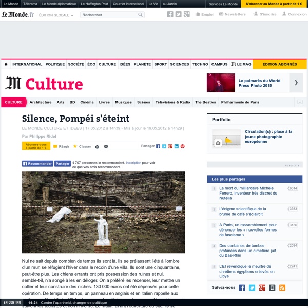
Pompéi Un article de Wikipédia, l'encyclopédie libre. Pompéi (Pompeii en latin, Pompei en italien) est une ville de l'Empire romain, située en Campanie. Fondée au VIe siècle av. Le site Pompéi : terre fertile au pied du Vésuve. Le site archéologique de Pompéi est situé sur la côte ouest de l'Italie, au sud de Naples sur la baie du même nom. Une terre fertile Pompéi est construite sur un plateau volcanique formé par une ancienne langue de lave et escarpé sur trois côtés. Le volcan, éteint depuis plusieurs siècles, n'était pas une source d'inquiétude pour les habitants de la région. Un site stratégique Pompéi était donc une terre prospère quand, un jour de l'année 79, elle fut entièrement dévastée par une éruption du Vésuve. Cette fin tragique explique en partie la renommée de la ville ; quant aux fouilles archéologiques, elles ont permis de faire surgir à la lumière une cité florissante, de faire revivre toute une société et la richesse de son histoire. De la fondation de Pompéi à sa destruction Rues